Geomaticians

07

Wrocławskie Budynki Zeskanowane W Ramach Projektu NEEST

Wrocławskie Budynki Zeskanowane W Ramach Projektu NEEST

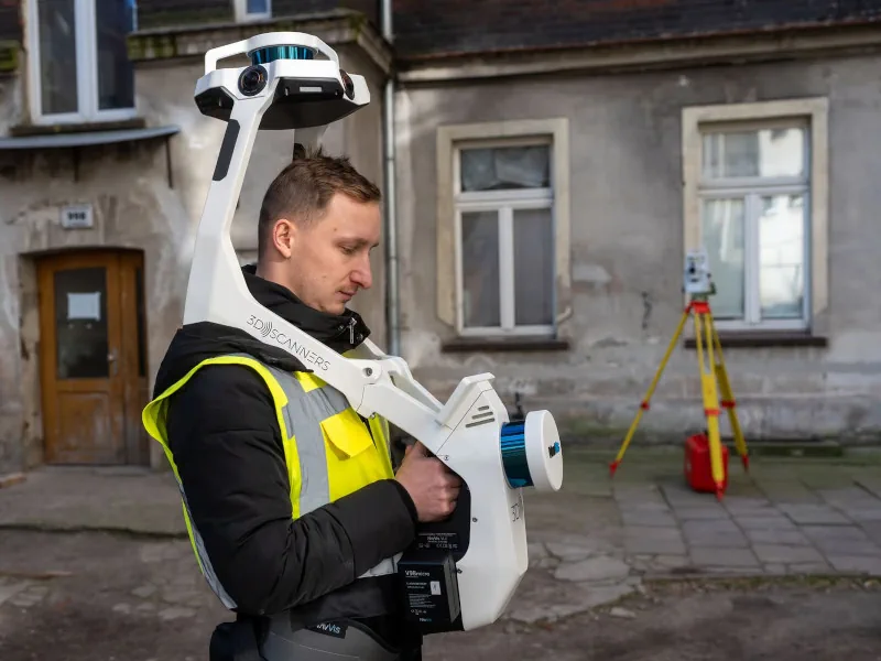
Ograniczanie zużycia energii i poprawa komfortu życia mieszkańców – to główne cele projektu NEEST, w którym bierze udział Wrocław. W ramach przedsięwzięcia trwa właśnie tworzenie modelu 3D zabudowy na obszarze między ul. Traugutta a Kościuszki. NEEST to unijny projekt badawczy, którego efektem mają być gotowe modele transformacji energetycznych budynków – nie tylko kamienic, ale również ...
geoforum.pl
Mapy Małopolski - Nowy Geoportal Województwa Zastąpił MIIP

Mapy Małopolski – Nowy Geoportal Województwa Zastąpił MIIP

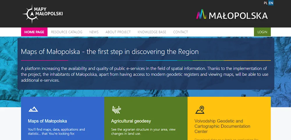
Nowy geoportal zwiększa dostępność i jakość e-usług publicznych w zakresie informacji przestrzennej. Mieszkańcy Małopolski poza dostępem do nowoczesnych rejestrów geodezyjnych i przeglądaniem map będą mogli korzystać z dodatkowych e-usług. Aplikacje mapowe znajdziemy przechodząc do zakładki Katalog Zasobów. Użytkownicy zarejestrowani, którzy założą konto w systemie będą mogli skorzystać z rozszerzonego pakietu dostępnych narzędzi umożliwiających m.in. tworzenie ...
gisplay.pl

La Universidad Nacional De La Plata Trabaja Con Nación En El Aprovechamiento Del Litio Como Recurso Natural Estratégico

El vicepresidente del Área Académica de la Universidad Nacional de La Plata (UNLP), Fernando Tauber, se reunió en la Ciudad de Buenos Aires con la titular de la secretaría de Minería de la Nación, Flavia Royón, para aportar el conocimiento y experiencia de la Casa de Estudios en el aprovechamiento del litio como recurso natural ...
infoblancosobrenegro.com
ESA’s Cloud Mission In The Limelight

ESA’s Cloud Mission In The Limelight

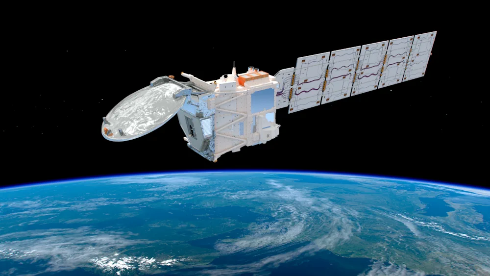
Dedicated to delivering a wealth of new information on exactly how clouds and aerosols affect Earth’s climate, ESA’s EarthCARE satellite has had the chance to show off prior to engineers embarking upon the careful task of packing it up for its journey to the launch site in the US. Carrying four different instruments, this remarkable ...
esa.int
سامانه اطلس سرمایه‌گذاری كشور رونمایی شد

سامانه اطلس سرمایه‌گذاری كشور رونمایی شد

این مراسم با حضور رئیس سازمان سرمایه‌گذاری و کمک‌های اقتصادی و فنی ایران، رئیس سازمان نقشه‌برداری کشور، “مجتبی توانگر” رئیس کمیته اقتصاد دیجیتال و “عزت الله اکبری” رئیس کمیسیون صنایع و معادن مجلس شورای اسلامی و تعدادی از معاونان وزارت اقتصاد برگزار شد. اطلس سرمایه گذاری در پاسخ به ضرورت موجود اطلس سرمایه گذاری کشور ...
shada.ir
Urban Heat Research May Point The Way To Cooling Steamy Cities

Urban Heat: Research May Point The Way To Cooling Steamy Cities

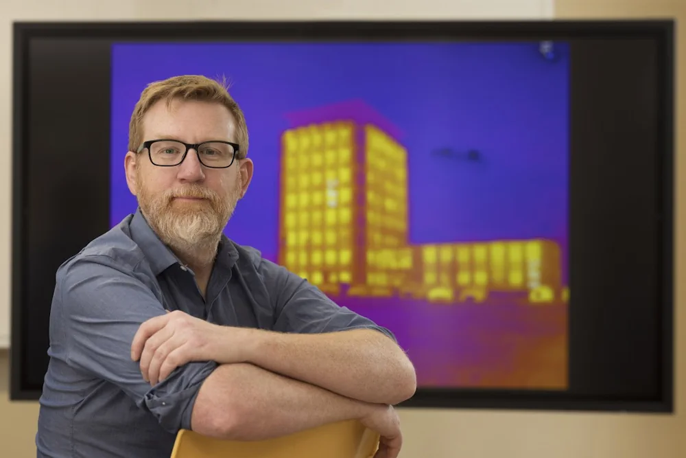
Cities really are hotter than surrounding areas due to the urban heat island effect, first observed in London during the 1800s, explained Binghamton University Associate Professor of Geography Thomas Pingel. The buildings, parking lots and sidewalks absorb heat during the day, releasing it during the night. This excess heat is more than just an annoyance; ...
binghamton.edu

The Impact Of Wildfire Smoke On Rooftop PV

Researchers from the University of New South Wales (UNSW) in Australia have investigated the effects of wildfires on the electricity production of rooftop PV systems and have concluded that residential solar arrays could be used for wildfire detection and monitoring, due to their sensitivity to smoke. In the study “Quantifying the impact of wildfire smoke ...
pv-magazine.com
Egypt Launches Nexsat-1 Satellite From China

Egypt Launches Nexsat-1 Satellite From China

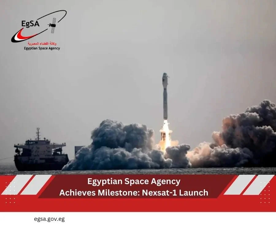
The Egyptian Space Agency (EgSA) has launched its NexSat-1 satellite into orbit aboard Jielong-3 (Smart Dragon-3), China’s small orbital launch vehicle and has subsequently established communications with the satellite. The microsatellite weighs 67 kilograms, and it features a panchromatic imaging payload with 5.7 meters of ground resolution. EgSA’s CEO, Dr Sherif Sedky, announced the launch ...
spacewatch.global
DCU, Bentley Partner For 3D Smart City Research Initiative

Dublin City University (DCU) has partnered with Bentley Systems to create an advanced digital twin of its campus as part of its Smart DCU initiative. The partnership combines artificial intelligence (AI) and immersive digital twin technology. The campus will be used as a testing ground for innovative smart city solutions, with the aim of creating ...
gpsworld.com
NASA Is Helping Hawai’i Farmers Grow More Food With AI

NASA Is Helping Hawai’i Farmers Grow More Food With AI

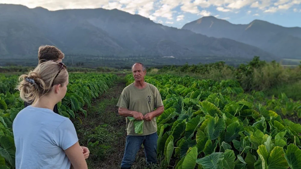
For many Hawaiian farmers, agriculture is more than a profession; it is their kuleana, or responsibility. It is a practice with deep cultural roots tied to the ancient concept of aloha ʻāina—love and responsible stewardship of the land. Despite this cultural connection to farming, agricultural production and food systems across Hawai’i have suffered from decades ...
fooddive.com