Geomaticians

10

Novel Photonic Platform for PNT Applications

Novel Photonic Platform for PNT Applications

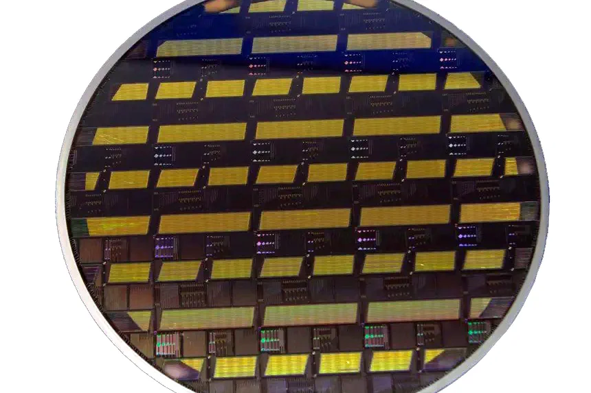
With support from the European Space Agency (ESA), Switzerland-based Luxtelligence has demonstrated prototyping capabilities in a novel photonic platform. The platform is based on thin-film lithium niobate (TFLN), suited for the development of high-speed electro-optic modulators. Such modulators could, in turn, be used in positioning, navigation and timing (PNT) technologies. Speaking at the ESA-hosted final presentation ...
insidegnss.com
New interactive map showcases publicly-owned land across Scotland

New interactive map showcases publicly-owned land across Scotland

A NEW interactive map highlighting information about publicly-owned land across Scotland has been created. The new resource – which can be found HERE – also allows people to see the land managed by the Scottish Crown Estate. Users can explore information on individual land parcels, including its ownership and size. The information has been brought together as ...
thenational.scot
Dual-branch model enables better crop-type mapping in scattered farmlands

Dual-branch model enables better crop-type mapping in scattered farmlands

In many Asian regions, especially in China, agricultural fields are typically small, scattered, and lack clear boundaries, which complicates effective crop distribution and agricultural analysis using remote sensing technology. Now, a research group from the Hefei Institutes of Physical Science of the Chinese Academy of Sciences, has addressed this challenge with a novel dual-branch deep learning model ...
phys.org
LINZ experts tackle geospatial tasks in Antarctica

LINZ experts tackle geospatial tasks in Antarctica

Experts from Toitū Te Whenua Land Information New Zealand (LINZ) have recently conducted work in Antarctica that will, amongst other things, help scientists monitor the effects of climate change. The hydrographic, surveying and positioning team members undertook a range of activities aimed at maintaining the flow of key data, for which precise annual recalibration is ...
spatialsource.com.au
Alberta, Canada publishes Atlas of deep geothermal energy potential

Alberta, Canada publishes Atlas of deep geothermal energy potential

The Alberta Geological Survey (AGS) has published the Geothermal Atlas of Albeta, a public, web-based geographic information system (GIS) application that provides geoscience data and information relevant to the assessment deep geothermal energy potential in Alberta, Canada. The Geothermal Atlas of Alberta can be accessed via this link. The tool is designed to support the exploration and development of geothermal ...
thinkgeoenergy.com