Geomaticians

20

Leica Geosystems Upgrades Lidar UAV

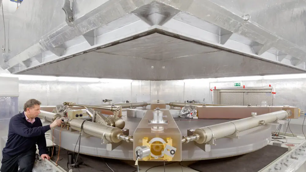
Leica Geosystems, part of Hexagon, has added new capabilities to the Leica BLK2FLY. It now has the ability to scan indoors, providing expanded coverage for complex scanning projects, and the ability to create digital twins for entire structures, both indoors and outdoors. Hexagon upgraded the autonomous UAV scanning system to allow for safe, effective indoor ...
gpsworld.com

Esri NA Signs Deal To Provide Egypt With GIS Programs

Egyptian Ministry of Communications and Information Technology has signed an agreement with the geographic information system (GIS) software firm Esri North Africa (Esri NA) to provide the latter’s latest GIS programs to the Egyptian universities, a statement showed. The deal also aims to build the capacities of the Egyptian staff in the field of GIS ...
zawya.com

Dubai Municipality Launches Digital Platform Empowering Senior Leaders With Customer Requests

Dubai Municipality has launched an innovative ‘Services 360’ policy digital platform, leveraging cutting-edge technologies and Geographic Information System (GIS), to provide its senior leaders and executives with real-time insights into customer requests and communications. This innovative platform empowers executives to oversee the progress of specialised tasks, ensure adherence to the highest service standards, and accelerate ...
wam.ae
Training Deep Machine Learning To Identify PV, Solar Thermal Systems In Aerial Images

Training Deep Machine Learning To Identify PV, Solar Thermal Systems In Aerial Images

A Swedish research group has found that using deep machine learning to identify solar energy systems in aerial images may not be so accurate in non-densely populated countries such as Sweden. They have also found, however, that this technique may be trained via an iterative process and achieve satisfying results. According to the research group, ...
pv-magazine.com
CTrees Launches Forest Disturbance Alert System For Global Monitoring

CTrees Launches Forest Disturbance Alert System For Global Monitoring

Non-profit organization CTrees launched Land Use Change Alert (LUCA), the world’s first global radar-based forest disturbance alert system. Unique in its ability to cover all forest biomes, LUCA leverages data from the European Space Agency’s Sentinel 1 radar satellite system to fill a critical gap in global forest monitoring. It revolutionizes the understanding of forest ...
lesprom.com
A Laser Gyroscope Measured Tiny Variations In The Lengths Of Days On Earth

A Laser Gyroscope Measured Tiny Variations In The Lengths Of Days On Earth

Using a laser gyroscope, scientists have measured variations in Earth’s rotation rate smaller than a millionth of a percent. The technique could help scientists understand the complex flows of water and air that cause the tiniest of tweaks to the planet’s spin. Earth’s rotation isn’t perfectly steady. The planet speeds up and slows down as ...
sciencenews.org