Geomaticians

October

Convenio Entre Mitma Y La Xunta De Galicia Para Obtener Imágenes Aéreas

El Consejo de Ministros ha autorizado la firma de un convenio entre el Ministerio de Transportes, Movilidad y Agenda Urbana (Mitma), a través del Instituto Geográfico Nacional (IGN) y el Organismo Autónomo Centro Nacional de Información Geográfica (CNIG), y la Xunta de Galicia para la obtención de una cobertura completa de imágenes aéreas y ortofotos ...
fly-news.es
Geospatial Data Used To Identify Geohazards For Site Investigations

Geospatial Data Used To Identify Geohazards For Site Investigations

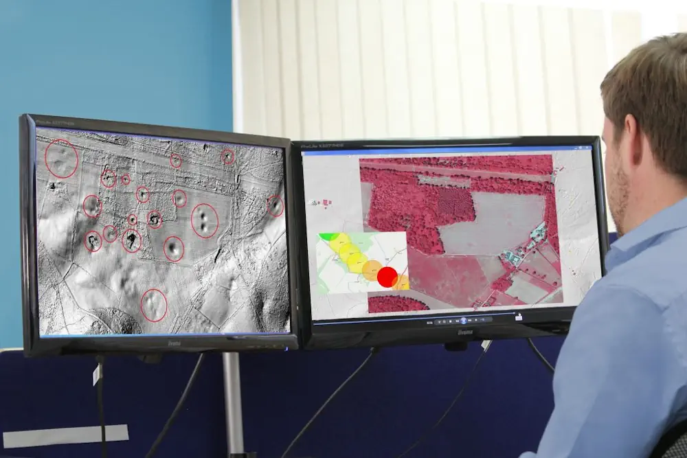
Consultant Card Geotechnics (CGL) has applied aerial laser surveying to pinpoint natural hazards on development sites across the UK. CGL is using geospatial data from aerial survey and geographic data company Bluesky. The data has formed part of the investigation stage on projects ranging from proposed residential developments to long, linear overhead powerlines. High-resolution aerial ...
geplus.co.uk
Google Launches Flood Hub In The U.S., Which Predicts When Rivers Will Flood And Warns People To Evacuate

Google Launches Flood Hub In The U.S., Which Predicts When Rivers Will Flood And Warns People To Evacuate

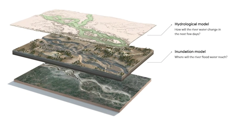
In August, when heavy rain hit parts of Chile, tens of thousands of people had to evacuate their homes as their communities flooded. Many got a warning a couple of days in advance, thanks to a tool from Google called Flood Hub that rolled out in the country earlier this year. Before Flood Hub existed, ...
fastcompany.com

FAO Broadens Scope Of Innovative Water Monitoring Tool To Include The Whole World

WaPOR, as it is widely known, is expanding its geospatially driven coverage to the whole world, following six years of successful use in Africa and the Near East. The new and improved version was launched today at the Food and Agriculture Organization of the United Nations (FAO) at the 2nd Rome Water Dialogue and on ...
reliefweb.int
Measuring Nutrition In Crops From Space

Measuring Nutrition In Crops From Space

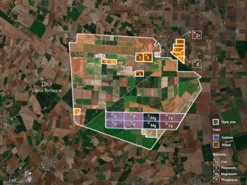
With many people around the world suffering from various forms of malnutrition it’s important that the absolute basics such as rice, soya and wheat are as nourishing as possible. ESA-funded research shows that the Copernicus Sentinel-2 mission and the Italian Prisma mission could be used to monitor the nutritional content of staple crops. This could, ...
esa.int
Tribal Leaders And Researchers Have Mapped The Ancient ‘Lost Suburbs’ Of Los Angeles

Tribal Leaders And Researchers Have Mapped The Ancient ‘Lost Suburbs’ Of Los Angeles

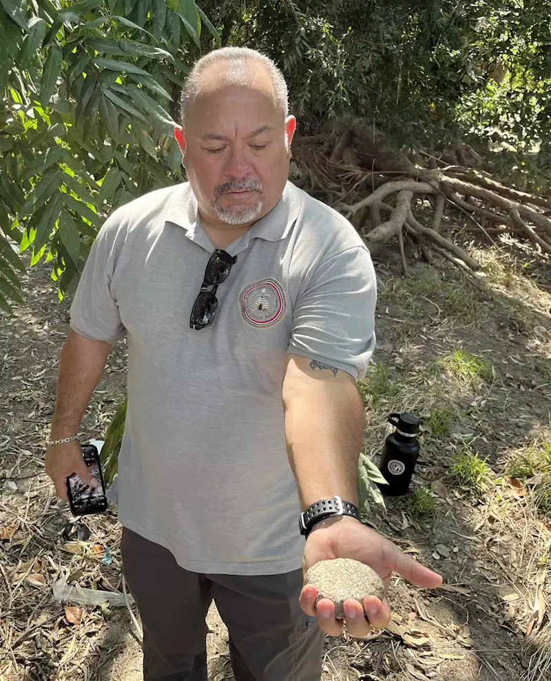
For millions of Los Angeles-area motorists, the Whittier Narrows Recreation Area flashes by in an instant — a tattered oasis of wetlands, sycamore and oak that punctuates the monotonous sprawl of industrial parks, cinder-block sound walls and residential cul-de-sacs along the 60 Freeway and Rosemead Boulevard. But to Andrew Salas, chairman of the Gabrieleño-Kizh tribe, ...
latimes.com
RD Y Cuba Unirán Capacidades Para Desarrollar Atlas De Riesgo Climático

RD Y Cuba Unirán Capacidades Para Desarrollar Atlas De Riesgo Climático

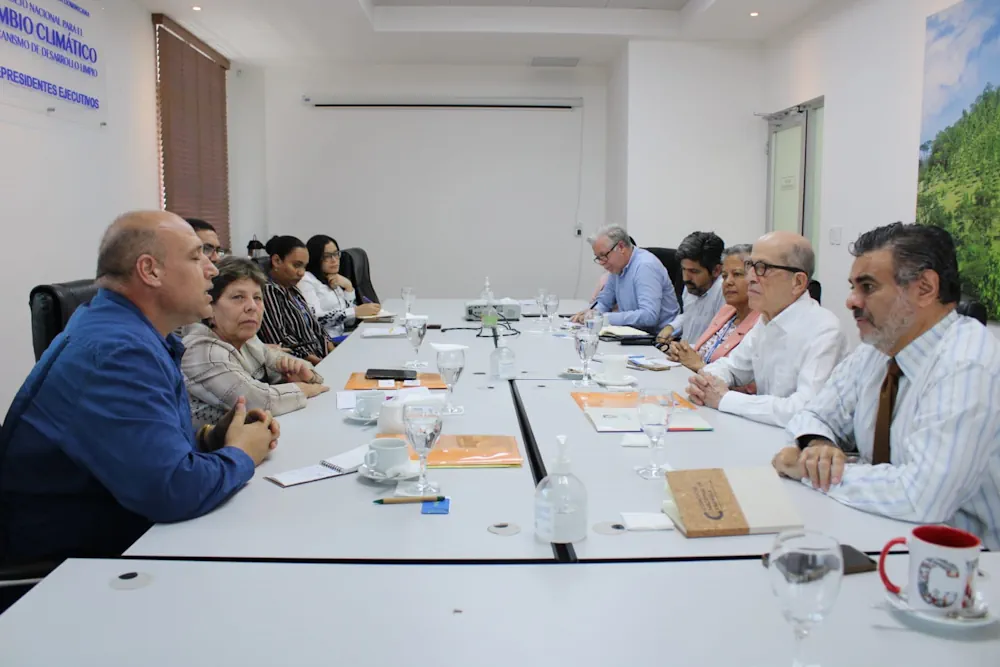
República Dominicana y Cuba exploran vías de intercambio y colaboración para impulsar los Atlas de Riesgo Climático de ambos países, basándose en las capacidades y fortalezas que cada uno de ellos ha desarrollado en materia de observación geoespacial; recolección y sistematización de datos; y desarrollo de las plataformas tecnológicas. “Cuba ha desarrollado y actualiza cada ...
visitantes.do
THEOS-2 Airbus-built Satellite For Thailand Successfully Launched

THEOS-2 Airbus-built Satellite For Thailand Successfully Launched

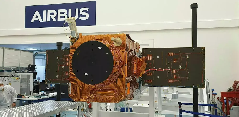
The Airbus-built THEOS-2 Earth observation satellite has been successfully launched on a Vega rocket from Kourou, Europe’s spaceport in French Guiana. The Geo-Informatics and Space Technology Development Agency of Thailand (GISTDA) selected Airbus as partner for its next-generation national geo-information system in 2018. Jean-Marc Nasr, Head of Space Systems at Airbus, said: “This successful launch ...
airbus.com
Geospatial Analysis Identifies Areas With Individuals Eligible For Lung Cancer Screening

Geospatial Analysis Identifies Areas With Individuals Eligible For Lung Cancer Screening

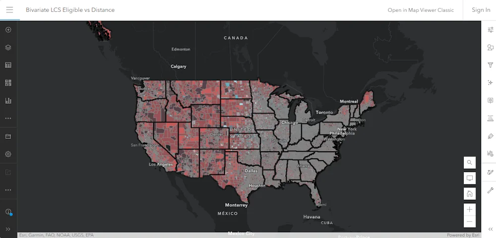
A model that incorporates demographic and smoking history data has identified regions populated with individuals eligible for lung cancer screening, according to study results presented at the CHEST annual meeting. “Geospatial techniques allow us to look at population-level trends as part of identifying next steps in lung cancer screening outreach and resource planning,” Christine Lambert, ...
healio.com
New AI Algorithm Transforms 2D Photos Into 3D Maps

New AI Algorithm Transforms 2D Photos Into 3D Maps

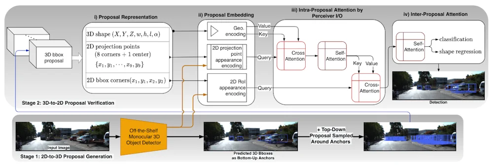
A new method named MonoXiver uses AI to build up reliable 3D maps of a camera’s surroundings based only on 2D photos. The technology could be especially useful for navigation in self-driving cars. As 2D representations of a 3D world, photos are missing a huge amount of information about the actual sizes of the objects ...
freethink.com
Ruszyła Rejestracja Na Kongres GIS 2023

Ruszyła Rejestracja Na Kongres GIS 2023

Esri Polska po raz kolejny zaprasza zainteresowanych zgłębieniem tajników analityki przestrzennej na Kongres GIS – tym razem w swojej oryginalnej i cenionej formule na żywo. Tegoroczne spotkanie ekspertów rozpocznie się 25 października i potrwa 2 dni. O najciekawszych przykładach wykorzystania GIS w różnych obszarach gospodarki i administracji publicznej opowiedzą przedstawiciele firmy i zaproszeni goście.
gisplay.pl

Presentation Proposals Invited For GIS-Pro 2023

URISA’s 61st Annual Conference, GIS-Pro 2023, will be hosted in Columbus, Ohio, in partnership with the Ohio Valley Chapter of URISA. We are pleased to invite presentation proposals from the geospatial community. The conference content will be curated by a planning committee comprised of more than 50 GIS professionals from Ohio, the Great Lakes region, ...
directionsmag.com