Geomaticians

26

New GIS Software Makes Mapping Voters Easier

Secretary of State Wes Allen announced last week that his office will provide Geographical Information System (GIS) services for the purpose of districting voters and administering elections in all 67 Alabama counties. Voters register with the county’s Board of Registrars and are mapped in the county’s precincts based on their address. “Alabama law states you ...
andalusiastarnews.com

Greater Noida Authority To Undertake GIS Mapping To Protect Government Land

With a view to protect government land from encroachment in all 124 villages under its jurisdiction, the Greater Noida authority has decided to carry out a geographic information system (GIS) survey soon, officials aware of the matter said. “The survey will determine how much land has been grabbed in each village. After that, the authority ...
hindustantimes.com
Naver To Build Digital Twin Platform For Saudi Cities

Naver To Build Digital Twin Platform For Saudi Cities

South Korean internet giant Naver said Tuesday it has secured a large-scale deal in Saudi Arabia to build a cloud-based digital twin platform for the kingdom’s futuristic smart city project. The deal signing ceremony was held in Saudi capital Riyadh on Monday upon President Yoon Suk Yeol’s state visit. Naver didn’t reveal the exact size ...
theinvestor.co.kr
Goddard Engineers Improve NASA Lidar Tech For Exploration

Goddard Engineers Improve NASA Lidar Tech For Exploration

Lidar technology improvements will help NASA scientists and explorers with remote sensing and surveying, mapping, 3D-image scanning, hazard detection and avoidance, and navigation. Light detection and ranging, or lidar, is a remote sensing technology related to sonar and radar. Lidar uses pulses of light to measure distances and properties of objects accurately, by measuring the ...
nasa.gov

Researchers Pioneer New Surveying Method Using UAVs And Laser Scanners

Researchers Pioneer New Surveying Method Using UAVs And Laser Scanners

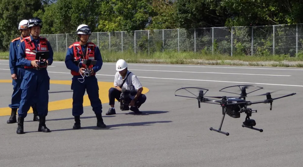
A Japanese research team recently published a paper outlining an innovative approach to surveying using Unmanned Aerial Vehicles (UAVs), commonly known as drones. The drones collect topographic and architectural data, which are used to create 3D computer-generated images. The researchers aim to enhance the method’s accuracy by fine-tuning the coordination of hardware and data. This ...
japan-forward.com