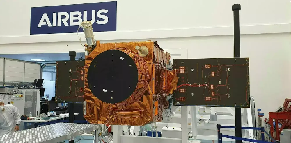
THEOS-2 Airbus-built Satellite For Thailand Successfully Launched
The Airbus-built THEOS-2 Earth observation satellite has been successfully launched on a Vega rocket from Kourou, Europe’s spaceport in French Guiana. The Geo-Informatics and Space Technology Development Agency of Thailand (GISTDA) selected Airbus as partner for its next-generation national geo-information system in 2018. Jean-Marc Nasr, Head of Space Systems at Airbus, said: “This successful launch ...
airbus.com