Geomaticians

29

Sino-Kenyan Forum Opens In Kenya To Boost Use Of Geospatial Technologies

A Sino-Kenyan forum started in the Kenyan capital, Nairobi, Wednesday to seek ways of promoting the use of geospatial technologies in agriculture, urban planning and natural resource management. The 2023 Supermap GIS software innovation conference that was jointly organized by Kenya’s Directorate of Resource Surveys and Remote Sensing and Chinese firm Supermap gathered government officials, ...
china.org.cn

UAE Launches Development Phase Of Sirb Satellite Programme

The project will enable partnerships with global institutions and offer incentives, as an extension of the Space Economic Zones project. The Sirb programme will enable the commercialisation of satellites and the data they generate on both national and international fronts. This milestone project will include three synthetic aperture radar (SAR) satellites that use advanced imaging ...
gulfbusiness.com

China’s GPS-Like Beidou Navigation System Recognised As Global Standard For Commercial Aviation In ‘Important Milestone’

China’s equivalent to the US’ Global Positioning System (GPS) has gained an international qualification that allows it to expand into global commercial aviation, with the “important milestone” a potential boost for the technology, analysts said. The home-grown BeiDou system has been recognised by the International Civil Aviation Organisation as one of its standards, becoming a ...
scmp.com
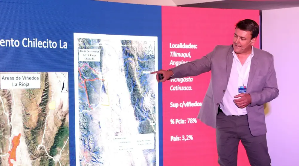
Desarrollaron Mapas Digitales De Cada Zona Vitivinícola Argentina Para Consultar De Manera Gratuita

Desarrollaron Mapas Digitales De Cada Zona Vitivinícola Argentina Para Consultar De Manera Gratuita

El inmenso trabajo fue encabezado por el Consejo Federal de Inversiones (CFI) junto con COVIAR y permite consultar cada perfil geológico y climático del país, mediante una plataforma de acceso libre ya disponible. Identificar todas las variables climatológicas y geológicas de cada rincón del país en donde crece una uva no solo es posible, sino ...
uvasargentinas.com.ar

SISPER, Herramienta Para Conocer Los Peligros Naturales En Nuestro Entorno

Los riesgos y peligros a los que estamos expuestos vuelven vulnerables a las poblaciones. Por ello, conocer qué territorios representan mayor peligro a fin de ayudar en la planificación y reducción de daños es el objetivo del Sistema de Información Sobre Peligros y Riesgos (SISPER), una plataforma web desarrollada por científicos de distintas especialidades de ...
cronica.com.mx

In A First, Survey Of India Joins Hands With Private Mapping Firm For ‘Digital Twins’

In a first-of-its-kind initiative, the Survey of India (SoI), historically the custodian of India’s maps, has signed an agreement with a Mumbai-based private company, Genesys International, to prepare three-dimensional maps of several cities and towns. Called ‘Digital Twins,’ these maps are three-dimensional representations of cities and when coupled with high-resolution images, can be used in ...
thehindu.com
From Tracking Mosquitoes To Trees With Disease, GIS Works

From tracking disease in Ponderosa pines to managing mosquitoes, Geographic Information Systems are doing more and more to help utilities, government and scientists in the Flathead Valley. Flathead Electric Cooperative is using GIS to map vegetation along its powerlines, said Jake Harte, a data specialist with the Co-op during a talk last week that featured ...
hungryhorsenews.com
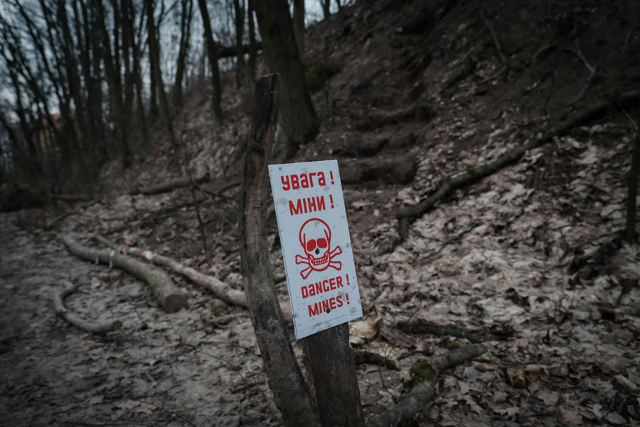
Drones And AI Could Locate Land Mines In Ukraine

Drones And AI Could Locate Land Mines In Ukraine

Finding and removing land mines is an excruciatingly slow process. Human deminers scour contaminated ground inch by inch with handheld metal detectors, waiting for the telltale beep of a magnetic anomaly. Although trained dogs are sometimes used, metal detectors have remained the go-to clearance method since the end of World War II. “There’s a very ...
scientificamerican.com