Geomaticians

11

Genera UAEMÉX Productos Cartográficos Para Ayuda En Afectaciones Provocadas Por 'Otis'

Genera UAEMÉX Productos Cartográficos Para Ayuda En Afectaciones Provocadas Por ‘Otis’

En el Laboratorio Nacional de Observación de la Tierra de la Facultad de Geografía de la Universidad Autónoma del Estado de México, han recibido más de 300 imágenes satelitales con las cuales han podido realizar al menos 12 productos cartográficos de valor agregado. Con los cuales, busca dar atención con mayor rapidez a las zonas ...
milenio.com
SANSA And Congo’s National Remote Sensing Centre Sign MoU To Advance Scientific Projects

SANSA And Congo’s National Remote Sensing Centre Sign MoU To Advance Scientific Projects

The South African National Space Agency (SANSA) and Democratic Republic of Congo National Remote Sensing Centre (DRC NRSC/CNT) recently signed a Memorandum of Understanding (MoU) during the 2023 GEO-Ministerial Summit in Cape Town to enhance collaborative efforts in implementing scientific and technological projects and programmes. The agreement underscores a shared commitment to promote mutual socio-economic ...
africanews.space

Oregon State University To Receive $6.5 Million For Geospatial Coordinate System Update Work

Oregon State University will receive $6.5 million in federal funding over a five-year period for research related to updating the National Spatial Reference System, a coordinate system that defines geographical elements ranging from longitude and latitude to height and orientation, the college said. OSU officials said common uses for the NSRS include surveying and mapping ...
kezi.com
Developing Next-gen Traffic Signal Control Systems With Air Quality In Mind

Developing Next-gen Traffic Signal Control Systems With Air Quality In Mind

After a summer that broke all sorts of dismal records in terms of cataclysmic wildfires across North America, there is now an even greater awareness of poor air quality—its myriad health impacts and the overwhelming need for sustainable solutions. To that end, Yu Yang, an assistant professor of computer science and engineering in Lehigh University’s ...
eurekalert.org
New Technique Could Improve GPS

New Technique Could Improve GPS

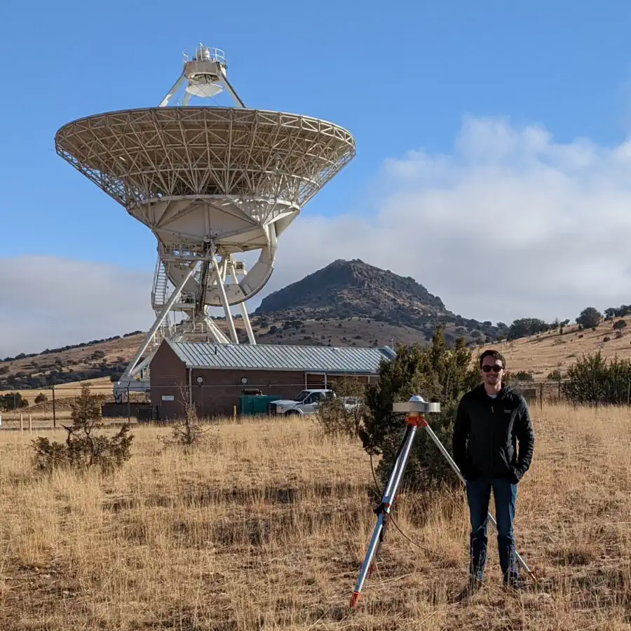
A new scientific technique could significantly improve the reference frames that millions of people rely upon each day when using GPS navigation services, according to a recently published article in Radio Science. For the first time, researchers at The University of Texas at Austin’s Applied Research Laboratories and NASA’s Goddard Space Flight Center have formed ...
news.utexas.edu