Geomaticians

10

UP42 And GLOBHE Sign Partnership To Bring Drone Data To Geospatial Marketplace

UP42, a leading geospatial developer platform and marketplace, and GLOBHE, the world’s premier on-demand drone data marketplace, announced their partnership to make high-quality drone data available through UP42. The agreement expands UP42’s current offer of satellite, aerial, elevation, weather, AIS and RF data. “The addition of GLOBHE’s drone data to our marketplace underscores our commitment ...
amerisurv.com
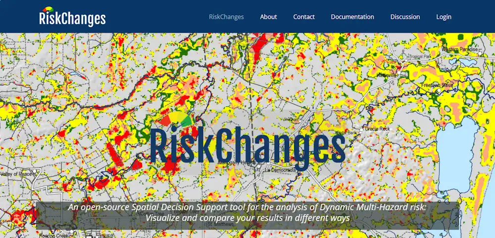
An Open-Source Tool To Assist In Multi-Hazard Risk Assessment

An Open-Source Tool To Assist In Multi-Hazard Risk Assessment

RiskChanges is an open-source cloud-based spatial decision support tool using a dynamic and comprehensive approach to multi-hazard risk assessment. It is designed to support orgaizations in assessing and managing risks associated with multiple hazards at the local level to select optimal risk reduction alternatives. RiskChanges was developed by the University of Twente in collaboration with ...
reliefweb.int

Esri Integrates 3D Tiles Into The ArcGIS System Of Record, Enhancing 3D GIS Workflows

Advances in imagery collection and photogrammetry techniques have increased demand for digital representations of the physical world, or geospatial digital twins. To meet this demand, Esri will integrate 3D Tiles into its ArcGIS software. With the ability to work with a variety of data types, including open 3D data standards, customers can develop innovative solutions ...
datanami.com
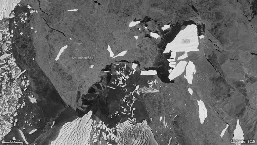
AI Maps Icebergs 10,000 Times Faster Than Humans

AI Maps Icebergs 10,000 Times Faster Than Humans

In a groundbreaking development, researchers from the University of Leeds have unveiled a neural network that can swiftly and accurately chart the expanse of large Antarctic icebergs in satellite images, accomplishing the task in a mere 0.01 seconds. This novel approach is in stark contrast to the laborious and time-consuming manual efforts needed previously. Anne ...
esa.int