Geomaticians

20

DragGAN Transforming Image Manipulation With Interactive Point-based Control

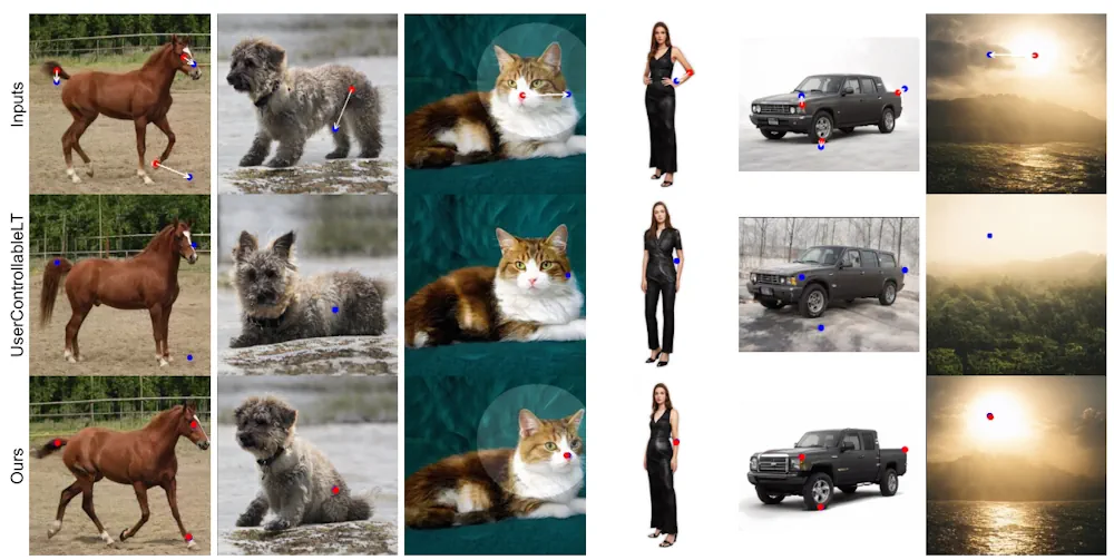
DragGAN: Transforming Image Manipulation With Interactive Point-based Control

The ability of AI tools to manipulate images continues to grow. The latest example is shown in a research paper from the Max Planck Institute. For now, it’s “only” a research paper, but a very impressive one, letting users drag elements of a picture to change their appearance. Not only can you change the dimensions ...
innovationorigins.com
Itaipu Encerra Fase De Escaneamento 3D Da Usina

Itaipu Encerra Fase De Escaneamento 3D Da Usina

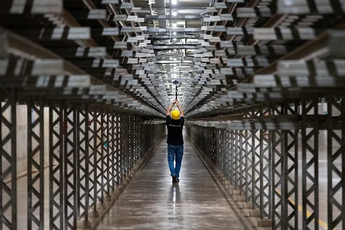
A empresa responsável pelo escaneamento tridimensional da Itaipu finalizou os trabalhos na primeira quinzena de maio. Encerrada essa primeira fase, será possível agora concluir a modelagem 3D de toda a Área Industrial para dar continuidade aos projetos executivos na Atualização Tecnológica da Binacional. Esse modelo 3D digital substituirá os documentos estáticos e permitirá, a partir ...
mundogeo.com

Tanzania To Join Regional Peers In Plan To Own Satellite In Space

Tanzania plans to join regional peers with the launch of its own satellite in space to better monitor weather trends and environmental developments and improve communications and surveillance of its territory from outer space. President Samia Suluhu Hassan said on Thursday that discussions are ongoing to build and launch its space station but did not ...
theeastafrican.co.ke
Enter The Orlandoverse Why The Florida City Built A 3D Map Of The Region

Enter The Orlandoverse: Why The Florida City Built A 3D Map Of The Region

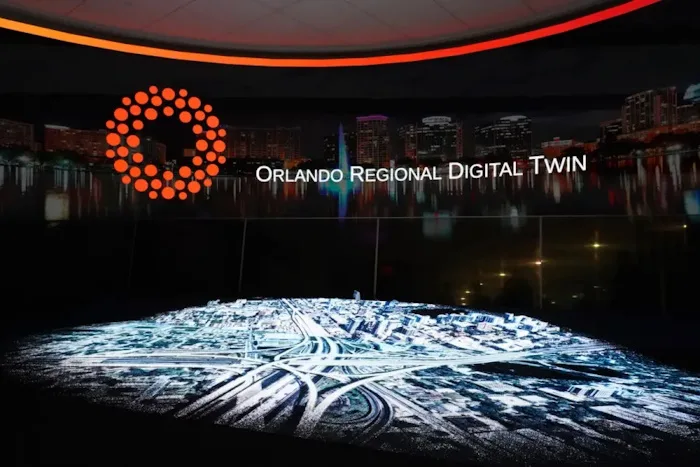
The city of Orlando wants to remind people it has more to offer than theme parks and tourism with a virtual representation of 800 square miles of the city and its surrounding area designed to help establish the region as an emerging tech hub. City officials developed the 3D map in partnership with video game ...
emergingtechbrew.com

Türkiye’nin Su Kıtlığı Ve Arazi Tahribatı Haritası Hazırlandı

Bartın Üniversitesi (BARÜ) öncülüğünde iklim değişikliği üzerine 3 yıldır sürdürülen TÜBİTAK’ın desteklediği proje kapsamında, su kıtlığı ve arazi tahribatı haritası hazırlandı. Proje yürütücüsü BARÜ Orman Fakültesi Öğretim Üyesi Prof. Dr. Ayhan Ateşoğlu, “Haritaların bir sonraki aşamada özellikle iklim değişikliği temelinde, arazi ve arazi kullanımına yönelik farklılıklara da destek vereceğini söyleyebiliriz. Haritalar sadece ormancılık değil, tarım, ...
dha.com.tr
UAF Scientists To Hunt For Clues About Arctic Ocean Glaciation

UAF Scientists To Hunt For Clues About Arctic Ocean Glaciation

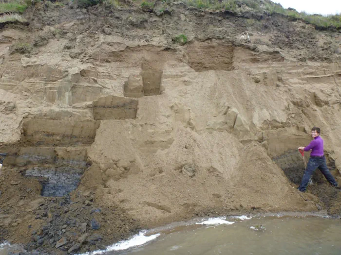
Evidence indicates a thick ice sheet, not annual sea ice and icebergs, covered the Arctic Ocean at some point during the last 140,000 years. Now, University of Alaska Fairbanks scientists will be looking for more geologic proof of the ice sheet’s existence, sources, behavior and extent. UAF Geophysical Institute scientists will focus on the Beaufort ...
kinyradio.com
Study Wildfire Spread Risk Increases Where Trees, Shrubs Replace Grasses

Study: Wildfire Spread Risk Increases Where Trees, Shrubs Replace Grasses

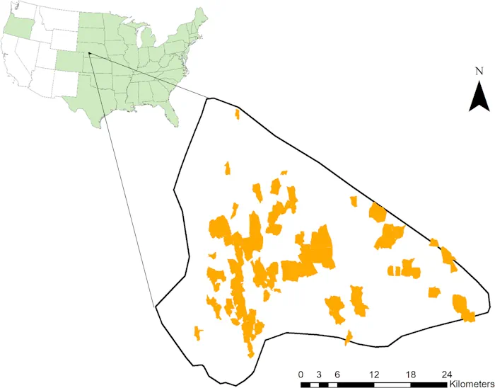
A new study, led by University of Florida forest management researcher Victoria Donovan, found that as woody plants like shrubs and trees replace herbaceous plants like grasses, spot fires can occur farther away from the original fire perimeter. This “woody encroachment” is not only a major issue in grasslands where the study takes place, but ...
eurekalert.org

CSIC Maps Mediterranean Seabed Via Satellite Images

Satellite-derived bathymetry continues to advance and improve rapidly. A recent scientific study has confirmed the effectiveness of a methodology developed to obtain bathymetric data from satellite images in the Western Mediterranean. The results of this research, published in the prestigious International Journal of Applied Earth Observation and Geoinformation, reaffirm the value of this tool for ...
miragenews.com
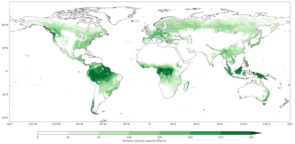
Mapping And AI Apps Suggest Ceasing Management Of Forests Not Enough To Offset Carbon Emissions

Mapping And AI Apps Suggest Ceasing Management Of Forests Not Enough To Offset Carbon Emissions

A team of atmospheric and climatic scientists from several institutions in Europe has found that even if all human management of forestry land stopped immediately, it would not be sufficient to offset global carbon emissions. In their study, reported in the journal Science, the group used mapping and AI applications to model how much forest ...
phys.org