Geomaticians

19

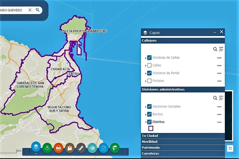
El Ayuntamiento Renueva Su Portal De Visor Geográfico En Internet Con 49 Capas Geográficas De Información

El Ayuntamiento Renueva Su Portal De Visor Geográfico En Internet Con 49 Capas Geográficas De Información

El Ayuntamiento de Las Palmas de Gran Canaria, a través del área de Innovación Tecnológica, ha desplegado una nueva versión de su portal Geovisor, que dispone de una interfaz mejorada, moderna e intuitiva para acceder a través de internet a la información geográfica de interés que publica el consistorio. A través de dicho portal se ...
laspalmasgc.es

Nigeria Joins South Africa In Earth Observation Group

Nigeria on Wednesday joined South Africa to be the second country on the continent to be part of the Group on Earth Observations (GEO) GEO-Nigeria, for the promotion of access to data and information. The National Space Research and Development Agency (NASRDA) represents Nigeria at the global level. The group is an intergovernmental partnership that ...
gazettengr.com
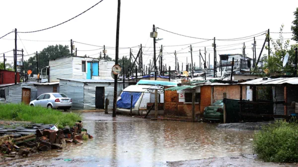
Rainfall Extremes Are Becoming More Probable In Parts Of SA – UP Experts

Rainfall Extremes Are Becoming More Probable In Parts Of SA – UP Experts

Researchers at the University of Pretoria have found that the amount of rainfall in certain parts of South Africa has increased or become more extreme over the past 50 years or so. These investigations were part of a study led by Charlotte McBride of the South African Weather Service and a PhD candidate in UP’s ...
iol.co.za
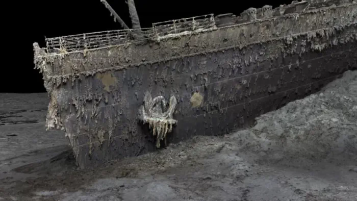
3D “Digital Twin” Showcases Wreck Of Titanic In Unprecedented Detail

3D “Digital Twin” Showcases Wreck Of Titanic In Unprecedented Detail

The RMS Titanic sank to the bottom of the North Atlantic in 1912, but the fate of the ship and its passengers has fascinated the popular imagination for more than a century. Now we have the first full-size 3D digital scan of the complete wreckage—a “digital twin” that captures Titanic in unprecedented detail. Magellan Ltd, ...
arstechnica.com
Uconn Researchers Take A More Innovative Approach To Investigating Inequity In Parks

Uconn Researchers Take A More Innovative Approach To Investigating Inequity In Parks

‘While many studies looked at these topics at the city level, I was able to explore the local patterns within the city, not just talk about the fact that there is unequal access to parks, but I was able to identify neighborhoods that should be improved’. Not everyone has equal access to green spaces, and ...
today.uconn.edu
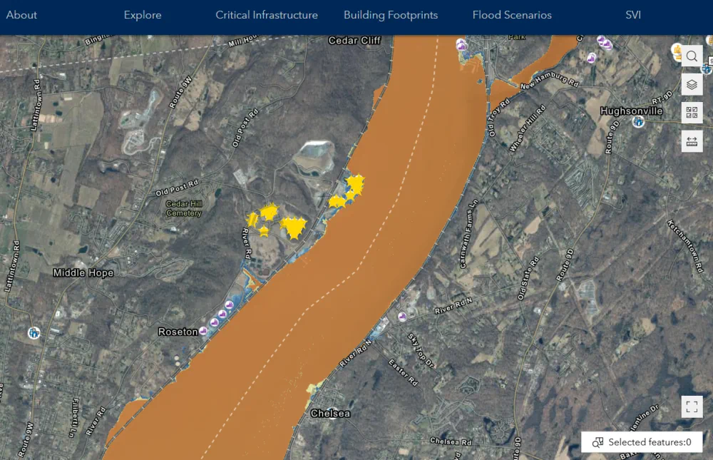
New Mapper Opens Up Access To Flood Planning In New York State

New Mapper Opens Up Access To Flood Planning In New York State

An accessible new mapping tool will make it easier for individuals and communities to plan for flooding and sea level rise. Developed by the NASA Socioeconomic Data and Applications Center (SEDAC) at Columbia Climate School’s CIESIN, the mapper visualizes spatial data for infrastructure across nearly all of New York State, except New York City. The ...
news.climate.columbia.edu

Seminarium: ISO W Specyfikacjach KIIP

19 maja w Warszawie w centrum konferencyjnym West Gate odbędzie się seminarium naukowo-techniczne „Zastosowanie norm ISO w specyfikacjach Krajowej Infrastruktury Informacji Przestrzennej”. Seminarium kierowane jest m.in. do osób tworzących specyfikacje danych przestrzennych na wszystkich szczeblach administracji publicznej, producentów danych geodezyjno-kartograficznych, analityków biznesowych z obszaru aplikacji geoprzestrzennych, kartografów, geoinformatyków oraz do osób pracujących przy kontroli danych ...
geoforum.pl