Geomaticians

18

Pełny Obraz W Jednym Miejscu. Powiat Opolski Chce Mieć Cyfrową Ewidencję Dróg

Pełny Obraz W Jednym Miejscu. Powiat Opolski Chce Mieć Cyfrową Ewidencję Dróg

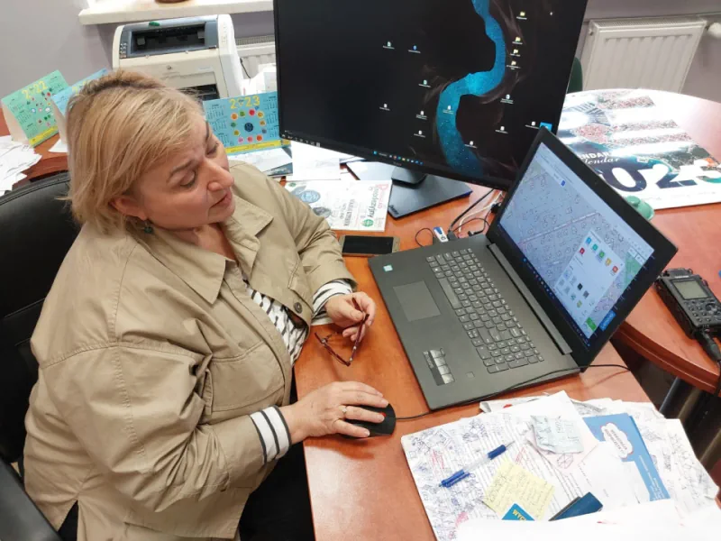
Dzięki cyfrowej bazie interweniujący czy planujący prace na trasach będą mieli szybki dostęp do pełnej informacji. Z drugiej strony będą tam trafiać wszystkie informacje o prowadzonych remontach, objazdach, także tych związanych z wypadkami. To będzie pierwsza taka baza danych o drogach w województwie – mówi Edyta Wenzel-Borkowska, naczelnik Wydziału Geodezji i Kartografii w Starostwie Powiatowym ...
radio.opole.pl
Cambrils Pone En Marcha Un Geoportal De Consulta Urbanística

Cambrils Pone En Marcha Un Geoportal De Consulta Urbanística

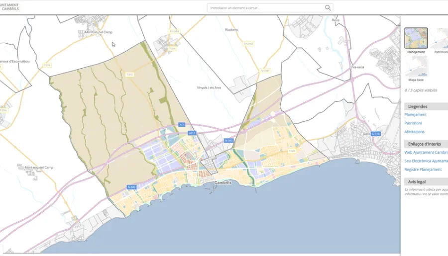
El Ayuntamiento de Cambrils ha puesto en marcha un Geoportal que permite a la ciudadanía consultar de manera más intuitiva y rápida los datos disponibles de los emplazamientos del municipio en referencia al planeamiento urbanístico, tanto municipal como supramunicipal. La nueva herramienta pone al alcance de toda la ciudadanía informaciones urbanísticas y cartográficas como la ...

Bayanat And Yahsat Announce Space Programme To Build Satellite Capabilities

Bayanat, a geospatial data products and services provider, and Abu Dhabi’s Al Yah Satellite Communications, better known as Yahsat, have launched a space programme aimed at building national satellite remote sensing and earth observation (EO) capabilities within the UAE. The space programme will look for business opportunities in the local and global EO market, Bayanat ...
thenationalnews.com
Mapbox Collaborates With Toyota And Lexus On In-vehicle Navigation Tech

Mapbox Collaborates With Toyota And Lexus On In-vehicle Navigation Tech

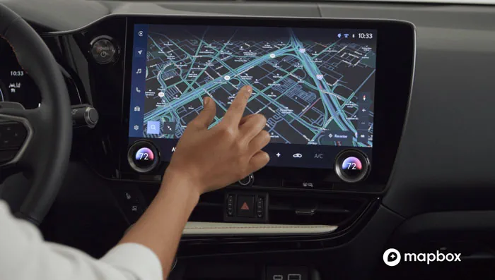
Toyota and Lexus are now utilizing Mapbox‘s technology to deliver navigation features. Mapbox’s maps software development kit incorporates a map design that complements Toyota’s multimedia system, making turn-by-turn navigation intuitive for drivers. With Mapbox’s navigation technology, Toyota can push updates to the design to vehicles in real time, so that the driver’s experience continues to ...
gpsworld.com
Neue Plattform Für Die Geodaten

Neue Plattform Für Die Geodaten

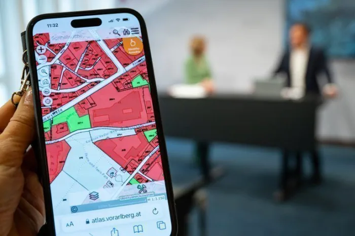
In neuer Aufmachung präsentiert sich seit Dienstag das Geographische Informationssystem des Landes. Über ein Portal könne künftig auf alle verfügbaren geografischen Daten des Landes zugegriffen werden, erläuterte Landesstatthalterin Barbara Schöbi-Fink (ÖVP) beim Pressefoyer nach der Regierungssitzung. Etwa 600 Datensätze aus zwölf Abteilungen und Dienststellen würden zugänglich gemacht, ergänzte Johannes Kanonier vom Landesamt für Vermessung und ...
vol.at
Vexcel Announces Free Access To Imagery Data

Vexcel has announced that, through its Vexcel Data Program, it will now provide free access to aerial imagery for government and commercial users in Australia and New Zealand through its web-based platform, Viewer. Announcing the initiative at the Locate23 conference in Adelaide, Ryan Bank, Managing Director of the Geospatial Insurance Consortium (an insurance industry partnership ...
spatialsource.com.au

ISRO To Launch New Navigation Satellite On May 29

Five years after launching the last navigation satellite in 2018, ISRO is gearing up to launch a new one on May 29 from Sriharikota to replace an old satellite. The aim is to maintain a constellation of functional seven satellites needed to keep its navigation system operational and running. Confirming the launch, a senior Isro ...
timesofindia.indiatimes.com
China Launches New Beidou Navigation Satellite

China Launches New Beidou Navigation Satellite

China on Wednesday sent a new BeiDou navigation satellite into space from the Xichang Satellite Launch Center in southwest China’s Sichuan Province. The satellite was launched at 10:49 a.m. (Beijing Time) by a Long March-3B carrier rocket. It will be connected to the BeiDou Navigation Satellite System (BDS) after it enters orbit and completes in-orbit ...
english.news.cn
Algorytm Uczenia Maszynowego Pomoże W Satelitarnym Monitorowaniu Torfowisk

Algorytm Uczenia Maszynowego Pomoże W Satelitarnym Monitorowaniu Torfowisk

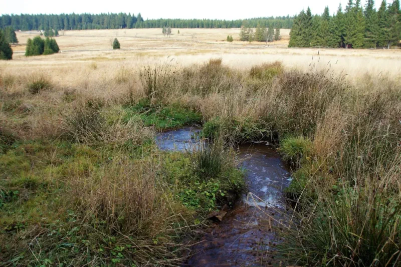
Nowy model uczenia maszynowego do szacowania zjawiska fluorescencji chlorofilu na obszarze mokradeł, w oparciu o dane satelitarne, opracowali naukowcy z Centrum Teledetekcji Instytutu Geodezji i Kartografii. Pozwala on na wczesne wykrywanie zagrożeń. Artykuł poświęcony nowemu algorytmowi ukazał się w piśmie Remote Sensing. W swojej pracy naukowcy wykorzystali algorytm XGBoost. Badaczom udało się uzyskać wyniki szacowania ...
wlaczoszczedzanie.pl

Permafrost Kartieren Und Klimavorhersagen Verbessern: „Undercovereisagenten“ Launchen Neue Mapping-app

Das Projekt UndercoverEisAgenten hat eine neue Mapping-Anwendung entwickelt, um dem auftauenden Permafrost auf die Spur zu kommen. Ab sofort können interessierte Bürgerforschende online direkt dazu beitragen, zuverlässige und aktuelle Daten über das Tauen der arktischen Permafrostlandschaften zu sammeln – und damit die Grundlage für Klimavorhersagen verbessern. Das Projekt UndercoverEisAgenten, eine Kooperation zwischen dem Heidelberg Institute ...
idw-online.de
Bundesweite Kartierung Über Die Gefahren Durch Starkregen Gestartet

Bundesweite Kartierung Über Die Gefahren Durch Starkregen Gestartet

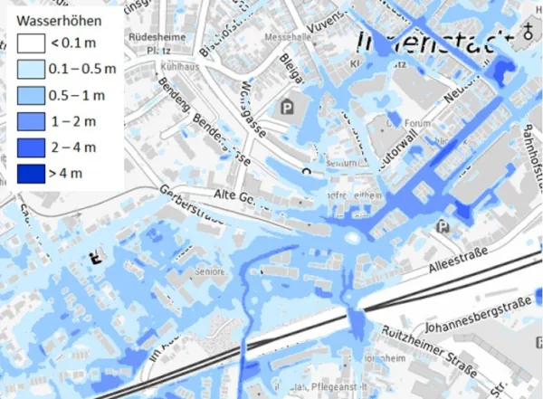
Das Bundesamt für Kartographie und Geodäsie (BKG) arbeitet gemeinsam mit Fachbehörden aus Bund und Ländern an einer deutschlandweiten Hinweiskarte zu Starkregengefahren. Zu Jahresbeginn hat das BKG dafür mehrere Projekte auf den Weg gebracht. Nach einer ersten Kartierung des Landes Nordrhein-Westfalen sollen mit den jetzt gestarteten Projekten zehn weitere Bundesländer kartiert werden. Die Arbeiten sollen bis ...
behoerden-spiegel.de
Aerial System Obtains Glacier Data

Aerial System Obtains Glacier Data

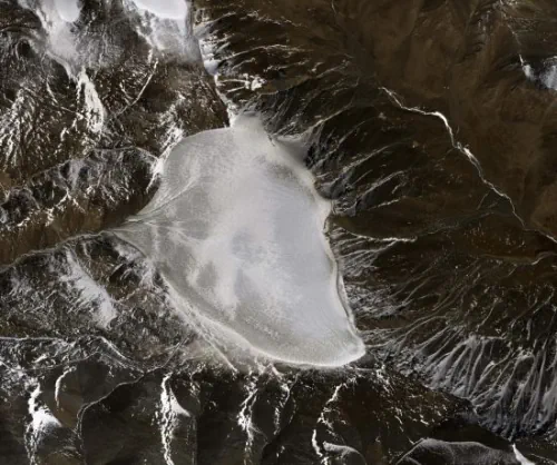
The Chinese Academy of Sciences and Wuhan University are conducting a sky-ground scientific experiment to test the condition of glaciers in the Haibei Tibetan autonomous prefecture in Northwest Qinghai province. The experiment has applied radars in three bands — P-band, L-band and Very High Frequency — and undertaken 11 flights, among which seven carried out ...
chinadaily.com.cn