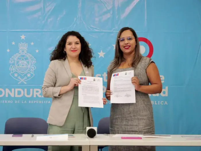
Chile Ahora Exporta Su Expertiz En Manejo De Datos Geoespaciales
Acompañada de un equipo técnico de la IDE Chile, la ministra de Bienes Nacionales, Javiera Toro, llegó a Honduras para actualizar un convenio de colaboración con el Instituto de la Propiedad (IP) de ese país, que busca compartir experiencias en información geoespacial, administración de suelos y propiedad fiscal, ámbito en el que Chile cuenta con ...
latercera.com/