Geomaticians

22

국립공원 보전관리 업무에 국토위성영상 활용

국립공원 보전관리 업무에 국토위성영상 활용

국립공원공단(공단)과 국토지리정보원(정보원)은 21일, 공단 본사(강원 원주시)에서 국립공원 보전‧관리 강화를 위한 공간정보 협력확대를 목적으로 업무협약을 체결했다. 이번 업무협약은 국가 보호지역의 보전․관리에 있어 국가공간정보 활용성 제고를 위해 추진되었으며, 협약식에는 공단 송형근 이사장과 정보원 조우석 원장이 참석했다. 공단은 정보원에서 제공하는 국토위성 1호가 촬영한 위성영상 등 고품질의 공간정보를 자연자원조사, 재난위험 안전관리, 기후위기 대응 등을 위해 공단에서 추진 중인 각종 ...
sentv.co.kr

SimActive Software Used To Accelerate Corridor Mapping

SimActive Inc., a world-leading developer of photogrammetry software, announces the use of its distributed processing capabilities by Sharper Shape to complete statewide utility corridor base maps. Last year, over eight million images were ingested in SimActive’s Correlator3D software to generate orthomosaics and colorized point clouds. Hosted on an Amazon cloud environment, Correlator3D allowed the acquisition ...
amerisurv.com
La Startup A-Bim À Monaco Audite Ports Et Structures Immergées En 3D

La Startup A-Bim À Monaco Audite Ports Et Structures Immergées En 3D

La technologie que va utiliser A-Bim pour analyser l’état des ports est la modélisation 3D. Parties immergées comprises. “Le niveau des océans va monter et la majeure partie des ports de la planète sera immergée. “Avec la technologie française que nous utilisons et qui n’existe nulle part ailleurs, nous amenons des informations sur trois axes ...
Sistema Georreferenciado Para Emergencias Rurales Del Partido De Olavarría

Sistema Georreferenciado Para Emergencias Rurales Del Partido De Olavarría

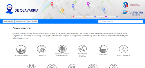
En un trabajo en conjunto entre la Dirección de Desarrollo Agropecuario y GIS de la Dirección de Gobierno Digital, ambas dependientes de la Secretaría de Desarrollo Económico del Municipio, se desarrolló SIGE: un sistema que ubica cada tranquera existente de establecimientos rurales del partido, que asimismo incluye una serie de herramientas para que, de manera ...
olavarria.gov.ar

South West Water Interactive Map Created To Show Water Quality At Beaches

An interactive map has been created by South West Water showing sewage releases around the coast. The WaterFit Live map is designed to share information about the region’s bathing beaches, location and performance of storm overflows, as well as the company’s plans to improve water quality. The government is making it mandatory for all water ...
itv.com
How AI Is Saving Homes And Lives In California During Wildfire Season

How AI Is Saving Homes And Lives In California During Wildfire Season

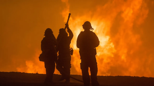
In California, extreme heat and drought conditions now occur at regular intervals, drying out grassland, pine needles and other foliage, adding to the century-old tinderbox that stokes these enormous fires. However, the state is now harnessing a powerful tool to dampen the effects of these fires, namely artificial intelligence, and specifically machine learning. The abundance ...
zdnet.com
National Geographic Society And Utrecht University Launch World Water Map

National Geographic Society And Utrecht University Launch World Water Map

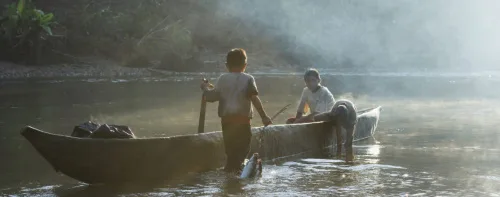
The National Geographic Society launched the World Water Map as part of its five-year World Freshwater Initiative to better understand developing freshwater shortages around the world and inspire sustainable action. The Map was created by the National Geographic Society in cooperation with Utrecht University and Esri to identify water availability hotspots, visualize global freshwater supply ...
blog.nationalgeographic.org