Geomaticians

27

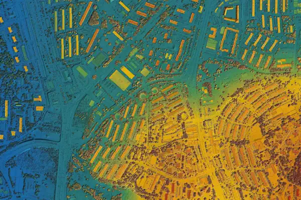
Berlin Gears Up For Geospatial Excellence

As the host city of Intergeo 2023 this October, Berlin promises to deliver the perfect kick-start for the geospatial industry in these rapidly changing times. The vibrant German capital is renowned for its innovating and entrepreneurial spirit, and the event itself is being held in Berlin’s biggest and most modern venue, Hub27. Earth observation, unmanned ...
gim-international.com

제주알마켓 하루방앱, ‘토지미래가치 예측기술’ 특허 등록

금일 제주알마켓 하루방앱은 ‘토지 미래가치 예측 기술’ 관련 특허 등록을 완료했다고 밝혔다. 이번에 특허받은 기술은 GIS(지리 정보 시스템)와 빅데이터 기술을 융복합한 토지의 미래가치 예측기능이 구비된 지도정보서비스시스템의 제어방법이다. 본 특허는 △개별토지의 환경적 및 사회적 가치 평가, △토지의 미래가치 예측 및 산출, △필지별 용도지역 분석, △용도지역 변경 이력 추적, △개발행위 허가 여부 판단, △개별공시지가 변동 추이 파악 ...
youthassembly.kr

Kölner:innen können schattige Geheimtipps in interaktive Karte eintragen

Die Stadt Köln möchte mit einem neuen Projekt kühle Orte im Stadtgebiet sichtbar machen und somit Bürger:innen weiter für das Thema ‚Hitze‘ sensibilisieren. Auf der städtischen Internetseite im „Kölner Hitzeportal“ wird eine Stadtkarte freigeschaltet, in denen Kölner:innen „ihre“ Orte eintragen können, die ihnen bei hohen Sommertemperaturen Kühle und Erholung versprechen. Bei diesen kühlen Orten kann ...
report-k.de
Partners Team Up To Launch Online Safety Map

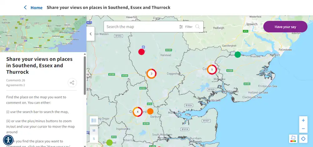
Partners Team Up To Launch Online Safety Map

We have launched a new online map for women and girls to use to highlight areas they feel safe or unsafe in Essex. When accessing the map, women and girls can ‘drop a pin’ on a particular area that they have felt unsafe. They can then state why. It can be used on a desktop ...
essex.gov.uk

Chinese “Tai’an” Satellite Launches World’s First Blockchain Payload Into Orbit

Chengdu Nationstar Aerospace Technology Co., Ltd., known as Nationstar Aerospace, has achieved a remarkable feat in space technology as the “Tai’an” (Star Era-16) satellite was successfully launched into orbit on July 22, 2023. According to the report, the satellite carried the Ceres-1 remote-6 carrier rocket and took off from the China Jiuquan Satellite Launch Center. ...
cryptotvplus.com
NASA Could Help Brazil Monitor Amazon Deforestation

NASA Could Help Brazil Monitor Amazon Deforestation

President Luiz Inácio Lula da Silva on Monday hosted NASA administrator Bill Nelson and U.S. Ambassador Elizabeth Bagley at the presidential palace. According to a statement from the Brazilian government, Mr. Nelson spoke of the possibility of supporting Brazil’s fight against deforestation with the help of new aircraft capable of capturing precise photographs of fires, ...
brazilian.report
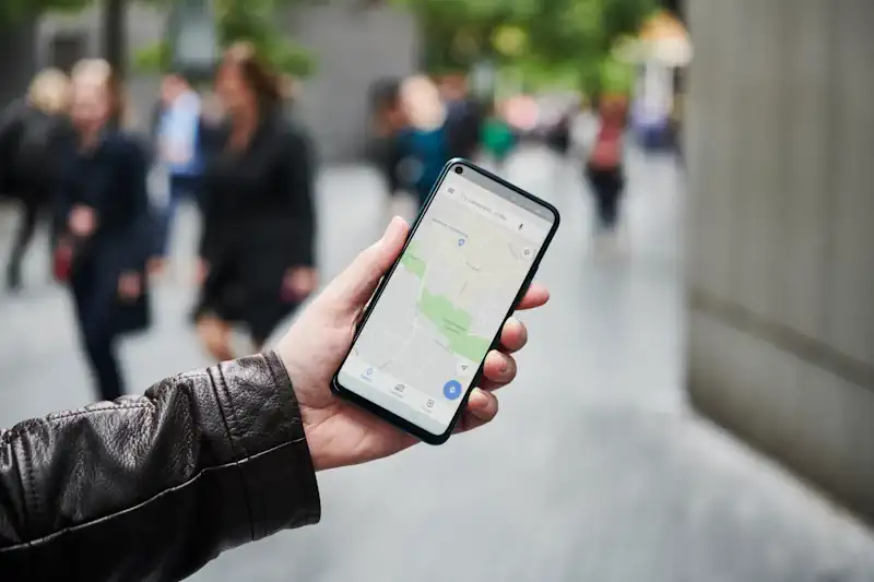
Meta, Microsoft And Amazon Release Open Map Dataset To Rival Google Maps, Apple Maps

Meta, Microsoft And Amazon Release Open Map Dataset To Rival Google Maps, Apple Maps

A group formed by Meta, Microsoft, Amazon and mapping company TomTom is releasing data that could enable developers to build their own maps to take on Google Map and Apple Maps. The group, called the Overture Maps Foundation, was formed last year. Today, the group has released it first open map dataset. With this dataset, ...
techcrunch.com
Researchers Use Geospatial Mapping To Assist Burn Patients

Researchers Use Geospatial Mapping To Assist Burn Patients

University of Texas at Dallas researchers are using geospatial mapping techniques to identify social and environmental obstacles in communities that might impede burn injury survivors’ reentry into society. The project is designed to help patients with burn injuries better adapt to their lives after medical discharge, including improving patient access to transportation, employment, food and ...
news.utdallas.edu
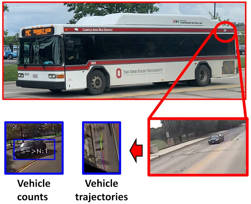
Using Cameras On Transit Buses To Monitor Traffic Conditions

Using Cameras On Transit Buses To Monitor Traffic Conditions

Researchers have proposed a novel method for counting and tracking vehicles on public roads, a development that could enhance current traffic systems and help travelers get to their destinations faster. Using the cameras already installed on campus buses at The Ohio State University, researchers demonstrated that they could automatically and accurately measure counts of vehicles ...
eurekalert.org