Geomaticians

26

Woolpert’s Mapping Accelerates Rural Texas Broadband Internet Expansion

Woolpert has been contracted to collect high-density Lidar data for more than 17,500 square kilometres of rural Texas to map electrical distribution poles and wires along with surrounding natural and man-made infrastructure. The data will be collected via fixed-wing manned aircraft. The high-density point cloud will be classified and used to construct survey grade 3D ...
gim-international.com

USDA Introduces Geospatial Data Product To Show Crop Rotation Patterns

The U.S. Department of Agriculture unveiled a geospatial product called Crop Sequence Boundaries (CSB) that offers public access to national-scale visual crop rotation data for the first time. The new tool was developed by USDA’s National Agricultural Statistics Service (NASS) and Economic Research Service (ERS), two of the department’s statistical scientific research agencies. CSB is ...
nass.usda.gov
Indonesia, Japan Explore Cooperation To Develop Satellite Navigation

Indonesia, Japan Explore Cooperation To Develop Satellite Navigation

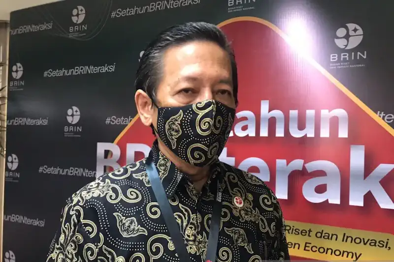
Indonesia’s National Research and Innovation Agency (BRIN) and Japan’s National Space Policy Secretariat of the Cabinet Office have signed a letter of intent (LOI) for cooperation to develop and utilize satellite navigation systems and technologies. Regarding the LOI for cooperation with Japan, BRIN’s Head of Research Organization for Electronics and Informatics Budi Prawara said Japan’s ...
en.antaranews.com
Advanced Aircraft Tracking Will Come Live From Space

Advanced Aircraft Tracking Will Come Live From Space

Satellites will soon be used to keep an independent eye on airborne planes, under a deal agreed between ESA and Spire Global, a company that provides space-based data, analytics and space services. Spire will design an advanced civilian aviation surveillance system that uses a constellation of satellites to monitor flights globally in real time, as ...
esa.int
Geoscientists Aim To Improve Human Security Through Planet-scale POI Modeling

Geoscientists Aim To Improve Human Security Through Planet-scale POI Modeling

Through an intelligent combination of geotagged social media, global location and natural language data, ORNL’s Junchuan Fan and Gautam Thakur developed MapSpace, a publicly available, scalable land-use modeling framework. By providing data characteristics broader and deeper than satellite imagery alone, MapSpace can generate population analytics invaluable for urban planning and disaster response. The researchers’ findings ...
phys.org