Geomaticians

15

Grundwassermangel Im Nordwesten So Knapp Ist Die Ressource

Grundwassermangel Im Nordwesten: So Knapp Ist Die Ressource

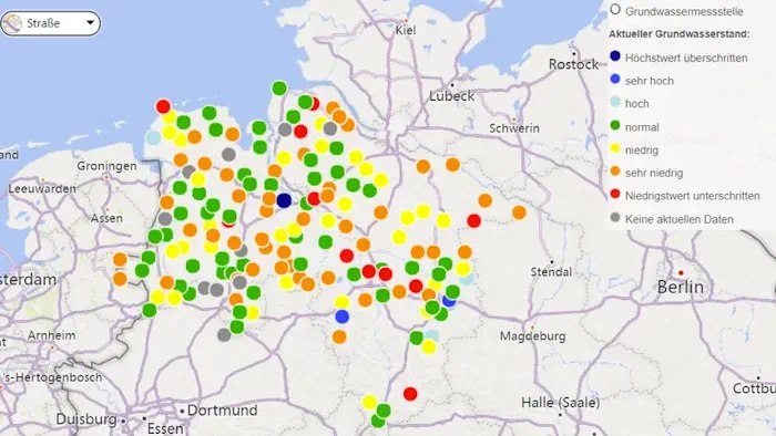
Der Nordwesten leidet wie weite Teile Deutschlands unter anhaltender Dürre. Das wirkt sich auch auf den Grundwasserspiegel aus. Wo genau, zeigt eine Karte. Herausgegeben wird die Karte, die stets tagesaktuelle Werte ausgebe, vom niedersächsischen Landesbetriebs für Wasserwirtschaft, Küsten- und Naturschutz, kurz NLWKN, teilte die Behörde mit. Da in Folge langanhaltender Dürre und immer wiederkehrender Trockenjahre ...
t-online.de

Korea To Begin Digital Management Of Roads, Infrastructure Renovation

Road maintenance and infrastructure renovation will be digitally managed and mediated by artificial intelligence (AI) and digital twin technologies to improve the accuracy of natural disaster predictability, the land ministry said, Friday. The Ministry of Land, Infrastructure and Transport said it signed a memorandum of understanding (MOU) with Gyeonggi Provincial Government and Gwangju Metropolitan City ...
koreatimes.co.kr

Saudi Transport Ministry, GASGI Form Partnership To Raise Geospatial Efficiency

In a joint effort aimed at enhancing the performance of the geospatial sector in Saudi Arabia, the Ministry of Transport and Logistic Services signed a partnership agreement with the General Authority for Survey and Geospatial Information to provide reliable geography and mapping information. The agreement, signed at the ministry’s headquarters in Riyadh, aims to raise ...
arabnews.com

Côte D’Ivoire Is Launching Its First Satellite For Earth Observation – And It’s Locally Made

Côte d’Ivoire has announced plans to launch its first satellite within the next two years. A team of scientists in the fields of astrophysics and geology tell The Conversation Africa about the potential benefits of this development and how the country plans to realise its space industry ambitions. YAM-SAT-CI 01 will be a nanosatellite for ...
theconversation.com

Evaluating Measurement Error In Remote-Sensing Deforestation Data

Remote sensing methods are transformative tools used to study deforestation, but they are by no means perfect. In the new paper “Remotely Incorrect? Accounting for Nonclassical Measurement Error in Satellite Data on Deforestation,” published in the Journal of the Association of Environmental and Resource Economists, authors Jennifer Alix-Garcia and Daniel L. Millimet discuss how errors ...
eurekalert.org
California State Parks Gets New Navigation Technology

California State Parks Gets New Navigation Technology

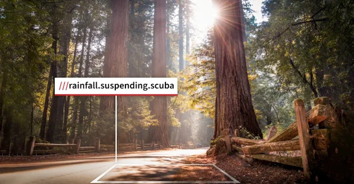
Last Week, The California State Parks System (CSP) Announced The Addition Of Location Technology To Improve Rescue Operations And The Park Visitor Experience. In Recent Years, New Technologies Like Drones And Robots Are Being Used In Places Like Travis County, Texas, To Improve Search And Rescue Operations. The Location Technology From What3words Has Been Implemented ...
govtech.com
'Underground Climate Change' Threatens To Destabilize Buildings

‘Underground Climate Change’ Threatens To Destabilize Buildings

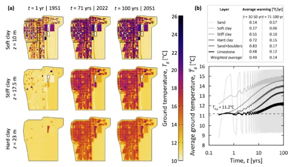
The earth beneath our major cities is heating up, morphing in ways that could damage buildings, bridges, and transport systems. Just ask any passenger sweltering on the London Underground or New York City subway, and they’ll perspire telling you about how underground transport systems are spewing heat. As that heat diffuses into the ground, it’s ...
sciencealert.com
On The Trail Of Landslides And Rockfalls Graz University Of Technology Measurement Method Uses Existing Fibre Optic Lines

On The Trail Of Landslides And Rockfalls: Graz University Of Technology Measurement Method Uses Existing Fibre Optic Lines

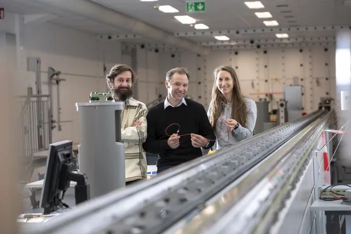
Landslides and rockfalls are increasingly becoming a real threat to people and infrastructure in light of the changing climate and the associated changes in soil and rock structure. The more precise the measurement, the earlier hazards can be detected, and consequently damage can be limited or even avoided altogether. A team at the Institute of ...
tugraz.at