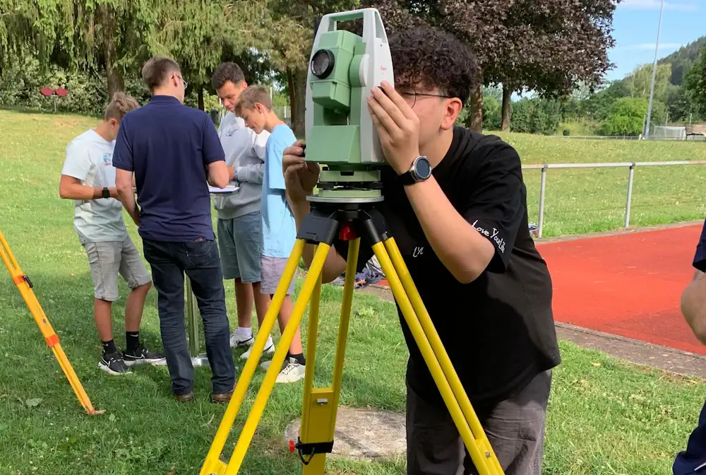
„Aktionswoche Geodäsie“ Mit Rund 200 Schülern
Vom 13. bis 21. Juli fand in Baden–Württemberg die „Aktionswoche Geodäsie“ statt. Insbesondere die staatlichen Stellen beziehungsweise die kommunalen Arbeitgeber waren dabei aufgefordert, das Berufsbild der Vermessung einer breiten Öffentlichkeit zugänglich zu machen und junge Menschen für den Beruf und dessen Tätigkeitsbereiche zu begeistern. Höhenbestimmung mittels Nivellierinstrumenten und mit dem Tachymeter, Positionsbestimmung mit Satelliten, Bauabsteckung ...
schwaebische.de