Geomaticians

04

Tecnología De Última Generación Para Salvaguardar Vestigios Arqueológicos En La Ruta Del Tren Maya

Tecnología De Última Generación Para Salvaguardar Vestigios Arqueológicos En La Ruta Del Tren Maya

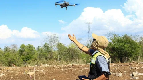
El proyecto de Salvamento Arqueológico U Lu’ umil Maaya Wínikoób del Tren Maya, a cargo de la Secretaría de Cultura, a través del Instituto Nacional de Antropología e Historia (INAH), se inscribe dentro de las medidas de protección y rescate de asentamientos prehispánicos, con el objetivo de explorar, preservar y salvaguardar todos los restos que ...
heraldodemexico.com.mx
Esri India Launches Carbon Footprint Awareness App

Esri India Launches Carbon Footprint Awareness App

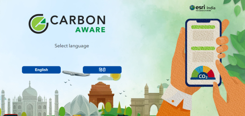
Leading Geographic Information System (GIS) solutions provider Esri India announced on Tuesday the launch of an app in Hindi and English to enhance awareness about carbon footprint at an individual level. A simple to use app ‘Carbon Jagruk’ or ‘CarbonAware’ enables citizens to estimate and reduce their carbon footprint requires no login or download and ...
deccanchronicle.com

Dragonfly Aerospace To Launch Its First Imaging Satellite, EOS SAT-1

Dragonfly Aerospace is launching its first Imaging satellite today, EOS SAT-1. The satellite, manufactured entirely by Dragonfly Aerospace in Stellenbosch, South Africa, is the world’s first agriculture-focused satellite constellation. EOS SAT-1 will provide the agriculture and forestry industry with efficient data to advance sustainable practices and ensure profitability. In addition, the satellite will directly affect ...
africanews.space
EU Project Combines Galileo Authentication And Blockchain

2022 saw the launch of a raft of new projects funded by the European Agency for the Space Program (EUSPA), applying space technologies in support of the European Union’s Green Deal. One of these projects, Space4Green, will develop a new software solution integrating Galileo OSNMA signals and Blockchain, to support trusted exchanges among users in ...
insidegnss.com

KOC Project To Implement GIS System For Map Charting

Kuwait Oil Company (KOC) is enhancing the quality and accuracy of the data used for daily planning to support production operations and the decision-making process for the implementation of current and future projects. This was done by contracting with one of the international companies specialized in this field. This project, for the first time since ...
geospatialworld.net