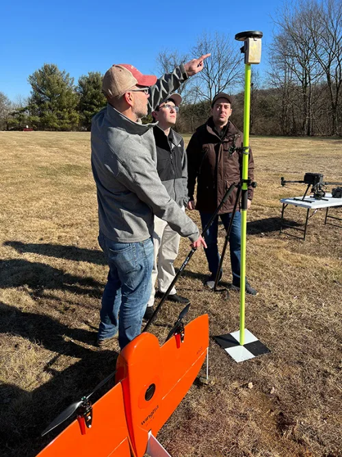
Alphartk Announces Free Educational RTK Access
AlphaRTK, a real-time kinematic (RTK) service provider, announced today it will provide students and faculty of Rutgers University, West Chester University, and Warren County Community College free access to its global navigation satellite system (GNSS) correction network. AlphaRTK is the most affordable, privately held, RTK subscription network to fully support four-constellation GNSS corrections. The service ...
geospatialworld.net