Geomaticians

28

Presagis Unveils New V5D Plugin For Unreal Engine

Presagis Unveils New V5D Plugin For Unreal Engine

Presagis recently released the V5D Plugin for Unreal Engine, which lets users load GIS-generated V5D digital twins into Unreal Engine. This integration enables the creation of highly realistic visualizations and simulations of entire cities and countries, offering new possibilities for digital twin applications with unparalleled detail and accuracy.
gim-international.com

Radisys Introduces Reachpoint Indoor Navigation And Geo-location Services For Enterprises

Radisys Corporation, a global leader of open telecom solutions, today announced the availability of Radisys ReachPoint, a smart network-based geolocation platform that allows Mobile Network Operators (MNOs) to deliver real-time geolocation service capable of reaching places where GPS may not be available, such as inside tall buildings. The solution enables Enterprises to get the location ...
businesswire.com

High-resolution Mapping Of Otago’s Entire Coastline Completed

A new high-resolution ground mapping dataset of Otago’s entire coastline is complete – now including about 30-40 kilometres inland – covering a total 4250 square kilometres of land. The high-resolution 3D ground elevation data for the coastline and its catchments is now available online via the LINZ Data Service and Open Topo web sites, says ...
scoop.co.nz
GIS Portal Enhances Collaboration For UK Nuclear Power Station

GIS Portal Enhances Collaboration For UK Nuclear Power Station

EDF, a French electric utility company, has partnered with Esri UK to implement an enterprise GIS for Hinkley Point C (HPC) nuclear power station, one of the largest and most complex construction projects in Europe. The GIS portal has enabled better collaboration and streamlined digital workflows by providing a central source of all spatial data, ...
gim-international.com
Maxar Unveils 3D Digital Twin For VR And Simulation

Maxar Unveils 3D Digital Twin For VR And Simulation

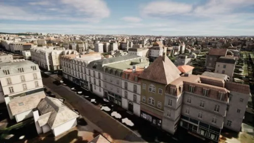
Maxar Technologies and blackshark.ai have collaborated to develop SYNTH3D, a synthetic 3D digital twin of the Earth’s surface that is highly compatible and visually pleasing for use in gaming, simulation, entertainment, virtual reality (VR), smart city, and metaverse applications. This high-performance 3D model, created using blackshark.ai’s patented generative artificial intelligence (AI) technology and Maxar’s Vivid ...
gim-international.com
Demuestran Que Los Pinsapos Tienen Mayor Resistencia Frente A La Sequía De La Que Se Creía

Demuestran Que Los Pinsapos Tienen Mayor Resistencia Frente A La Sequía De La Que Se Creía

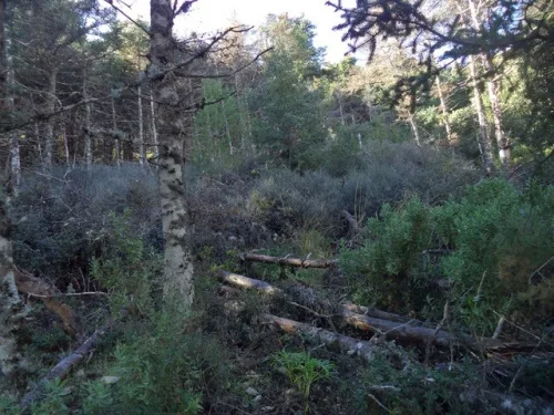
Investigadores de las universidades de Málaga, Jaén y la Pablo Olavide han estudiado los efectos de los episodios de sequedad en el pinsapar más grande del Parque Nacional de la Sierra de las Nieves, ubicado en Yunquera (Málaga), y los resultados, publicados en la revista científica ‘Frontiers in Plant Science’, han sido “sorprendentes”. Para llevar ...
uma.es
Identify Points Of Threat Of Landslides In Three Roads Of The Country

Identifican Puntos De Amenaza De Deslizamientos En Tres Vías De País

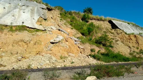
El docente desarrolló una metodología que estima las eventuales amenazas de taludes, información que serviría para diseñar alertas tempranas en estos proyectos de infraestructura. El proceso consiste en cuatro fases del tratamiento de la imagen. En la primera se localiza el tramo o la ruta a investigar mediante Google Earth; en la segunda, con el ...
agenciadenoticias.unal.edu.co
VR App Reminiscent Of Black Mirror Lets You Relive Your Memories

VR App Reminiscent Of Black Mirror Lets You Relive Your Memories

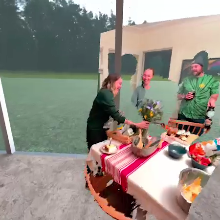
A new virtual reality (VR) app lets a user rewatch and relive memories they recorded on a smartphone. Developed by California-based company Wist Labs, Wist: Immersive Memories is an app that lets people save old “memories” and interact with their once-lived experiences on a smartphone, in mobile augmented reality (AR), or a VR headset. The ...
petapixel.com