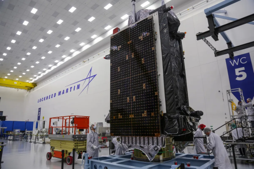
Lockheed Martin Completes Delivery Of 10th GPS 3 Satellite
The U.S. Space Force accepted delivery of the 10th and final GPS 3 satellite made by Lockheed Martin under a 2008 contract. Of the 10 satellites built, six have been launched and four are stored at a Lockheed Martin facility in Waterton, Colorado, awaiting launch opportunities. In a statement Feb. 16, the Space Systems Command ...
spacenews.com