Geomaticians

11

OGC Seeks Public Comment On FlatGeobuf Becoming A Community Standard

FlatGeobuf is a performant binary encoding for geographic data that works well as a “cloud native” lossless format for vector data. 10 February 2023: The Open Geospatial Consortium (OGC) is looking to adopt FlatGeobuf as an official OGC Community Standard. Comments are due by March 13, 2023. FlatGeobuf was designed to be: suitable for storing ...
directionsmag.com
Teledyne Geospatial Revolutionizes Airborne Lidar ROI With Galaxy Onboard

Teledyne Geospatial Revolutionizes Airborne Lidar ROI With Galaxy Onboard

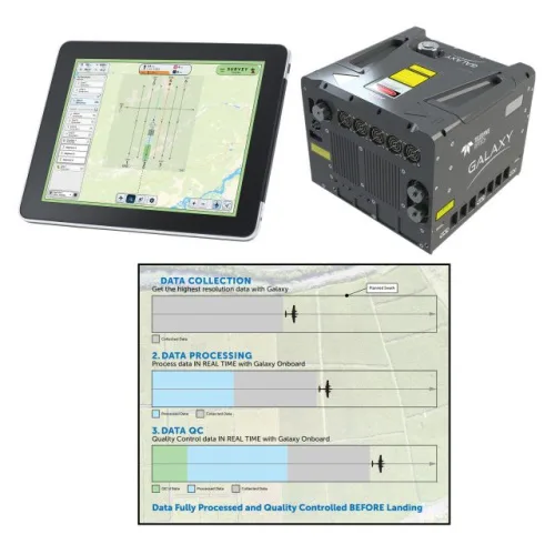
Teledyne Geospatial announced the release of the Galaxy Onboard, a workflow-focused solution that enables airborne surveyors to deliver quality-controlled processed data in real time. With Galaxy Onboard, Teledyne Geospatial has lowered the barrier of entry for organizations venturing into airborne mapping with a solution that does not require expertise or months of training.
geospatialworld.net
UK Local Authority Projects Use GIS To Modernize Planning

UK Local Authority Projects Use GIS To Modernize Planning

The United Kingdom is undertaking reforms in the planning system. Homes and streets from late Victorian and early 20th-century Britain are to be rediscovered and made fit for the 21st century. The Ministry of Housing, Communities and Local Government, UK, in 2020 published a white paper that outlined geospatial technology and data have an important ...
geospatialworld.net
Map Shows Where Every Prague Transit Vehicle Is In Real Time

Map Shows Where Every Prague Transit Vehicle Is In Real Time

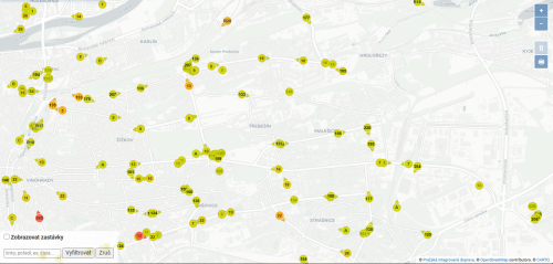
Prague has an excellent public transit system, but there still are delays. An online map shows the exact location of all public transit vehicles in real time, so you can decide if it is worth waiting or making alternative plans. The function will likely soon be added to the PID Lítačka application. People in Prague ...
expats.cz