Geomaticians

01

دومین نمایشگاه بین‌المللی ایران ژئو افتتاح و از 4 محصول دانش‌بنیان حوزه ژئوماتیک رونمایی شد

این نمایشگاه محلی برای حضور همه بازیگران این عرصه اعم از دستگاه‌های تولیدکننده اطلاعات مکانی، سازمان‌های بهره‌بردار، شرکت‌های خصوصی و دانش‌بنیان‌ها و دانشگاه‌ها است تا با ارائه توانمندی‌های خود و شبکه‌سازی ظرفیت‌های موجود؛ به نیازهای فناورانه کشور در این حوزه پاسخ دهند. نمایشگاه از از 9 تا 12 بهمن‌ماه 1401 میزبان علاقه‌مندان و فعالان حوزه ...
isti.ir

Transición Ecológica Incluye En Grafcan Nuevos Modelos Digitales Para Ortofotos

La Consejería de Transición Ecológica, Lucha contra el Cambio Climático y Planificación Territorial del Gobierno de Canarias, a través de la empresa pública Cartográfica de Canarias (Grafcan), ha incorporado nuevos servicios en el visor de Infraestructura de Datos Espaciales de Canarias (IDECanarias). Estas novedades tienen que ver con la incorporación de nuevos modelos digitales que ...
gobiernodecanarias.org
Modelo Digital É Utilizado Em 100% Dos Planos De Manejo Florestal No Acre

Modelo Digital É Utilizado Em 100% Dos Planos De Manejo Florestal No Acre

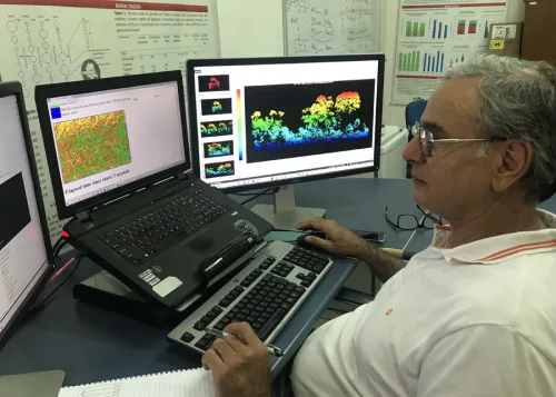
O Modelo Digital de Exploração Florestal (Modeflora), tecnologia lançada pela Embrapa Acre, completa 15 anos, com adoção em 100% dos planos de manejo do estado do Acre. A ferramenta confere maior eficiência ao planejamento e execução das operações de campo, proporciona economia no processo de produção e permite o monitoramento das etapas de manejo, além ...
mundogeo.com
Xfarm Technologies And FieldView Partner To Help Farmers Make Better Use Of Farm Data

Xfarm Technologies And FieldView Partner To Help Farmers Make Better Use Of Farm Data

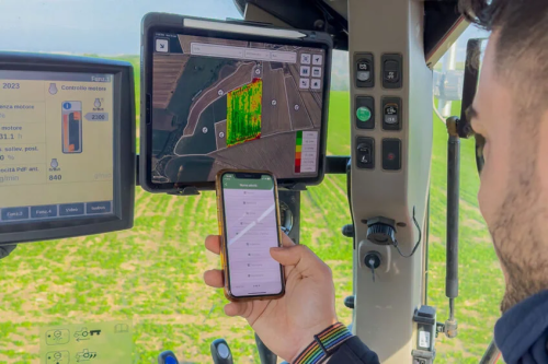
FieldView and xFarm Technologies announced a new partnership to connect their respective platforms. The goal of this partnership is to enable an easy data exchange for farmers and help to consolidate and simplify farming operations. The partnership focuses on connecting the two platforms allowing users to share farm data between their FieldView and xFarm accounts ...
futurefarming.com

Government To Present Application To Help Farmers Protect Crops Against Freezing Conditions

A new application developed by the rural development and foods ministry to give farmers early warning of oncoming frost is to be unveiled next week. Its aim is to restrict crop losses due to frost each year, as well as the amounts paid in compensation, which have reached an estimated 1.25 billion euros in the ...
hellenicnews.com
Indonesia Opens Its ‘Ocean Account’ For Sustainable Marine Management

Indonesia Opens Its ‘Ocean Account’ For Sustainable Marine Management

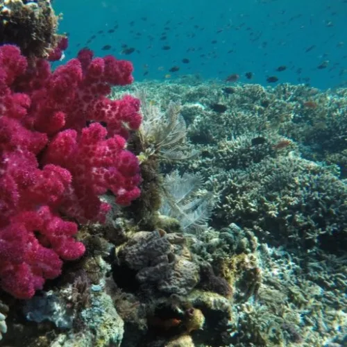
The Indonesian government is designing a new scheme to measure the long-term benefits provided by the country’s marine and coastal ecosystems. The ocean accounting system will serve as the standard indicator for the government in policymaking and zoning regarding Indonesia’s fisheries, conservation areas, and marine essential ecosystems. “We’ve been working on the ocean account with ...
news.mongabay.com
New Tool Reveals Best Places For Clean Energy Developments In The US

New Tool Reveals Best Places For Clean Energy Developments In The US

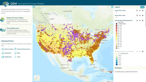
Researchers at the Argonne National Laboratory have developed an interactive online mapping tool that can help identify areas across the United States that are suitable for wind, solar, and other clean energy infrastructure projects. First publicly launched in 2013 as the Energy Zones Mapping Tool (EZMT), the solution has been redesigned, rebranded as Geospatial Energy ...
mining.com
DARPA Wants To Push The Boundaries Of Where Satellites Can Fly

DARPA Wants To Push The Boundaries Of Where Satellites Can Fly

DARPA defined Very Low Earth Orbit (VLEO) as orbits less than 450 km, or roughly 280 miles, in altitude. Low Earth Orbit, by contrast, is 2,000 km or 1,200 miles. The benefits of being in Very Low Earth Orbit include, according to DARPA, “improved spatial resolution for optical imaging, higher signal-to-noise ratios for radar and ...
popsci.com