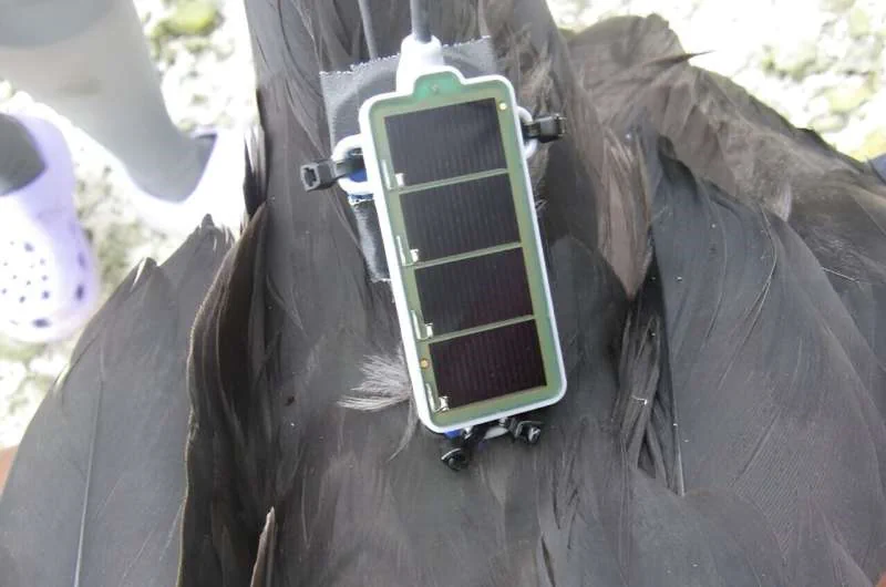
Great Frigatebirds Wearing Backpacks Map The Atmosphere
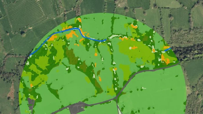
Great frigatebirds live in tropical regions and routinely fly to 2,000 meters (1.25 miles) in altitude, occasionally reaching heights of 4,000 meters (2.5 miles). A new study shows that great frigatebirds equipped with tiny sensors can give detailed information about the planetary boundary layer (PBL), which is the dynamic atmospheric layer that is closest to ...
phys.org