Geomaticians

06

The Federal Geographic Information Center Launches The General Map Of The UAE

As the official reference for geographic information at the federal level and the authoritative body responsible for issuing official maps, the Federal Geographic Information Center proudly announces the launch of the General Map of the United Arab Emirates in both Arabic and English. This milestone symbolizes a commitment to geographical accuracy and national pride. Part ...
zawya.com

India’s Genesys To Digitally Map Mecca’s Holy City

Genesys International Corporation’s subsidiary in Saudi Arabia, Genesys Middle East Ltd., has been awarded the prestigious contract for the 3D Digital Twin mapping of the Holy City of Mecca by the Kingdom of Saudi Arabia. This pioneering project, valued at Rs. 26 crores in this phase marks a historic venture into utilizing digital twin mapping ...
geospatialworld.net

COP28: NICFI And Bezos Earth Fund To Provide Free Satellite Images

Norway’s International Climate and Forest Initiative (NICFI) and the Bezos Earth Fund announce a new partnership to continue providing the world with free access to high-resolution satellite data to support efforts to stop the destruction of the world’s rainforests. The partnership adds to the USD 43 million previously granted by NICFI to establish the NICFI ...
geospatialworld.net
GSA Created Buzz Around Google's Geospatial Software

GSA Created Buzz Around Google’s Geospatial Software

To inspire artists and creators to learn about and use Google’s new Geospatial Creator in Adobe Aero, Google Arts & Culture partnered with Global Street Art and three reknown artists to bring city streets in London, Mexico City and LA to life. The results picked up the AR/VR Award at The Drum Awards for Out ...
thedrum.com
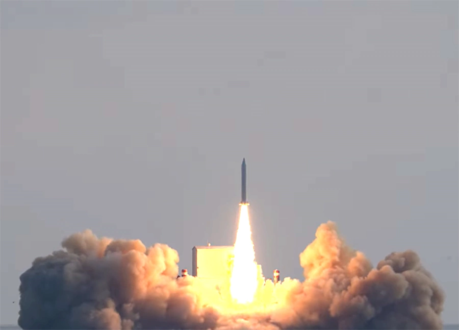
Hanwha Systems Launches First Privately-Owned Earth Observation Satellite

Hanwha Systems Launches First Privately-Owned Earth Observation Satellite

South Korea’s first privately-owned commercial Earth observation satellite developed with purely Korean technology has successfully launched itself. Hanwha Systems announced that it successfully launched its indigenously developed and manufactured “Small Synthetic Aperture Radar (SAR) Satellite” from the sea south of Jeju Island at 2:00 p.m. on December 4. The launch of the Hanwha Systems “Small ...
koreaittimes.com
China Launches Remote-Sensing Satellite For Egypt

China Launches Remote-Sensing Satellite For Egypt

China launched a remote-sensing satellite for Egypt late on Sunday (Dec. 3) as space cooperation between the two countries deepens. A Long March 2C rocket lifted off from Jiuquan Satellite Launch Center in the Gobi Desert at 11:10 p.m. EST on Sunday (0410 GMT, or 12:10 p.m. Beijing time on Dec. 4), with insulation tiles ...
space.com