Geomaticians

23

Ordnance Survey Reveals Top Map Symbol Requests

Ordnance Survey (OS) has revealed the top four new symbols people would like to see added to its leisure maps following a survey. The Southampton-based mapping agency said, of more than 2,400 responses, the top symbol more than half want added is gate and stile fence crossings. Nick Giles, managing director of Ordnance Survey Leisure ...
bbc.com

제주도, 농수산업에 ‘위성·항공·드론’ 융합영상 활용한다

제주특별자치도는 ‘공간지능정보(Geo-AI) 융합 영상분석 행정서비스 구축’을 위한 사업자를 선정하고 본격적인 사업 추진에 앞서 지난 18일 착수보고회를 개최했다고 밝혔다. 착수보고회에는 공동주관기관인 한국국토정보공사와 한국항공우주연구원, 한국교통연구원 등에서 자문위원이 참석해 사업 방향을 논의했다. 도는 이번 사업을 통해 위성·항공, 드론 영상을 융합해 인공지능으로 처리하는 데이터 분석 플랫폼을 만들고 데이터 분석결과를 활용해 지능형 행정서비스를 구축할 방침이다. 분석결과가 적용되는 지능형 행정서비스 모델은 ...
agrinet.co.kr

NEDA May Monitor Crops Via Satellite For Early Warning On Inflation Trends

“Currently, we utilize Philippine Statistics Authority (PSA) data to inform our inflation policy, but in order to enhance our inflation analysis, we need to augment our data sources. This is particularly important in the case of rice, our staple, and amid volatile weather,” NEDA Officer in Charge Assistant Director Rory Jay S.C. Dacumos said in ...
bworldonline.com
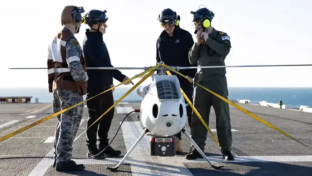
Australia Deploys S-100 Lidar Drones For Amphibious Support

Australia Deploys S-100 Lidar Drones For Amphibious Support

The Australian Navy has tested a new Light Detection and Ranging (LiDAR) equipped drone designed to support amphibious operations. Using the sensors, the drone, an S100 unmanned aerial vehicle, performed bathymetric and littoral light detection during this year’s ‘Exercise Sea Raider’. Deployed from the HMAS Adelaide, the drone projected green wavelength laser beams through the ...
interestingengineering.com