Geomaticians

19

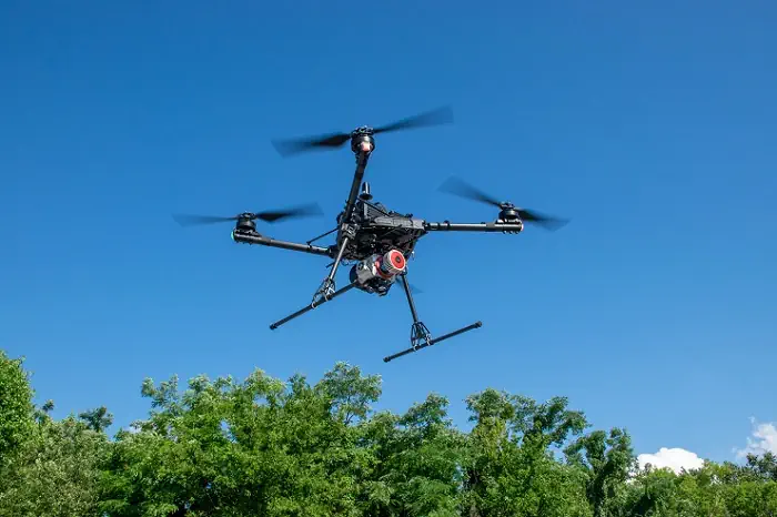
GeoCue’s New Imaging Systems Powerful Tools For Drone-based Aerial Mapping And Surveying

GeoCue’s New Imaging Systems: Powerful Tools For Drone-based Aerial Mapping And Surveying

With the release of GeoCue’s three new, high-end TrueView 3D Imaging Systems, surveying and mapping professionals can take their drone-based operations to new levels. The Alabama-based company’s TV625, TV680, and TV680LR offer customers access to a full range of advanced-level systems for collecting LiDAR and photogrammetry. Each system combines a lightweight and compact laser scanner ...
commercialuavnews.com

Neue Luftbilder Von Wiesbaden

Die Luftbilder im städtischen Geoinformationsangebotes geoportal.wiesbaden.de sind aktualisiert worden. Das Tiefbau- und Vermessungsamt führte im Frühjahr 2023 eine neue Luftbildbefliegung durch. Die Befliegungen umfassten das gesamte Stadtgebiet. Luftbilder sind seit Jahren etablierter Bestandteil des städtischen Geoinformationsangebotes. Die ersten beiden Teilbefliegungen fanden am Ende März beziehungsweise Anfang April 2023 statt. Dabei wurden 15 von 27 Flugstreifen ...
wiesbadenaktuell.de
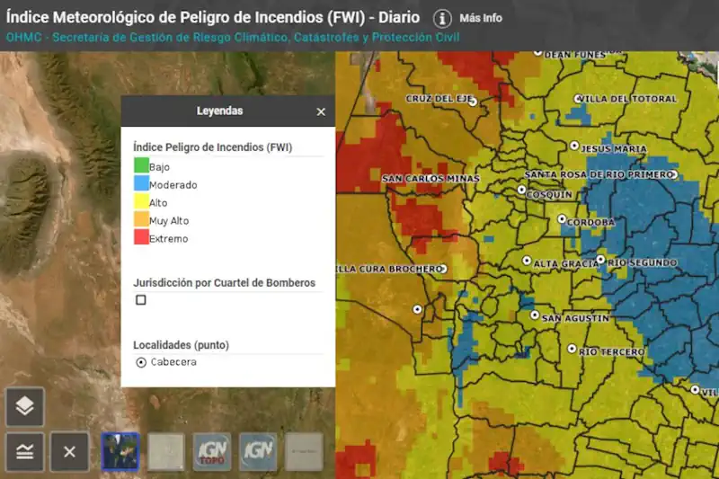
Una Cartografía Online Detallará A Diario El Peligro De Incendios Por Regiones

Una Cartografía Online Detallará A Diario El Peligro De Incendios Por Regiones

La Secretaría de Gestión de Riesgo Climático, Catástrofes y Protección Civil presentó la nueva cartografía provincial de Índices Meteorológicos de Peligro de Incendios. Se trata de una serie de mapas en los que se incluye información técnica y visual de toda la geografía provincial con indicadores que determinan la ocurrencia, comportamiento y efectos probables de ...
prensa.cba.gov.ar
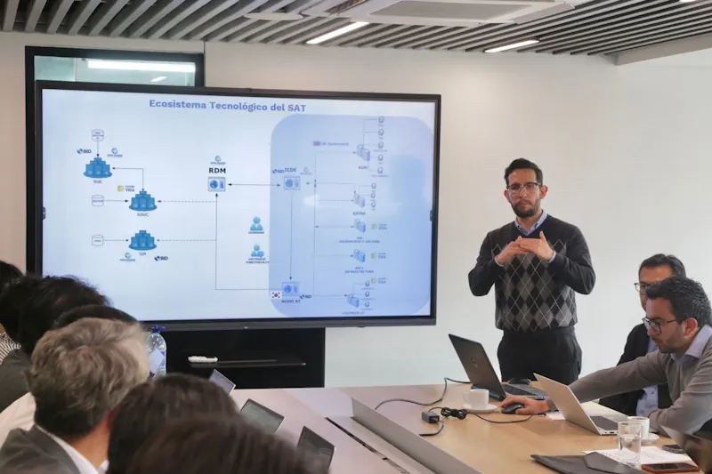
DNP Recibe Apoyo De Misión De Corea Del Sur Para Avanzar En La Implementación Del Sistema De Administración Del Territorio-SAT

DNP Recibe Apoyo De Misión De Corea Del Sur Para Avanzar En La Implementación Del Sistema De Administración Del Territorio-SAT

En el marco de la cooperación bilateral entre Colombia y Corea del Sur, se empezaron a definir las acciones que se desarrollarán conjuntamente para avanzar en la implementación del Sistema de Administración del Territorio-SAT, una de las principales apuestas planteadas en el Plan Nacional de Desarrollo 2022-2026,“Colombia, Potencia Mundial de la Vida”. El SAT es ...
areacucuta.com

Study Shows Green Space-Bipolar Correlation

Settlements with more green spaces have a lower rate of bipolar disorder, a Taiwanese research team found. The researchers of the study shared the results yesterday at a press conference held by the Science Media Center Taiwan. The research team, using satellite remote sensing, machine learning and data analysis, found a significant negative association between ...
taipeitimes.com
UW Develops First Underwater 3D Positioning App For Smart Devices

UW Develops First Underwater 3D Positioning App For Smart Devices

A team at the University of Washington has developed the first underwater 3D-positioning app for smart devices. “Mobile devices today can work nearly anywhere on Earth.” said lead author Tuochao Chen, a UW doctoral student in the Paul G. Allen School of Computer Science & Engineering. “But the one place where we still hadn’t made ...
mynorthwest.com
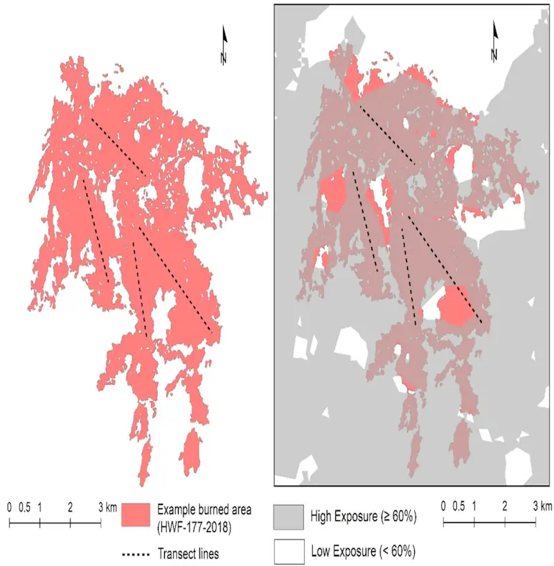
U Of A’s Wildfire Analytics Team Develops Tool To Support Communities

U Of A’s Wildfire Analytics Team Develops Tool To Support Communities

Wildfire Analytics, the University of Alberta’s wildland fire research team, has developed a new tool that assesses directional vulnerability to wildfires in communities. The tool looks at what drives fire across a landscape, according to PhD student Air Forbes. Forbes is using directional assessment in her PhD thesis. She has created the directional vulnerability assessment ...
thegatewayonline.ca