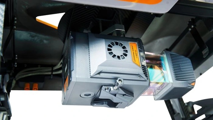
CHCNav Introduces Alphauni 20 Lidar System
The AlphaUni 20 (AU20) Lidar system represents a new era in cost-effective, multi-platform mobile mapping solutions, according to CHC Navigation (CHCNav), a global leader in precision mapping, positioning and navigation technologies. Harnessing the power of six years of innovation and product development fuelled by CHCNAV’s Lidar technology, the AU20 is aimed at redefining mobile mapping ...
gim-international.com