Geomaticians

27

Cansel Partners With GeoCue To Offer Drone Lidar And Processing Software

Cansel Partners With GeoCue To Offer Drone Lidar And Processing Software

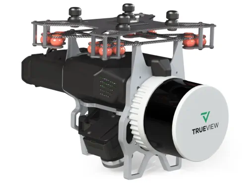
Cansel, a technology solutions provider for industries including engineering, surveying, construction, and utilities, announced a partnership with GeoCue, a global provider of 3D LiDAR imaging sensors and geospatial software. Now as a distributor of GeoCue, Cansel will offer the full product line of TrueView LiDAR 3D imaging sensors and LP360 processing software throughout Canada. TrueView ...
geospatialworld.net
Córdoba Actualizó Los Mapas Digitales De Propiedades De Suelo

Córdoba Actualizó Los Mapas Digitales De Propiedades De Suelo

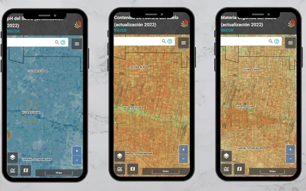
A través de un trabajo interinstitucional, la provincia de Córdoba actualizó los mapas digitales, a escala semi-predial, de materia orgánica (MO), fósforo (P) y Ph. Estas actividades forman parte de la estrategia de Mapeo Digital de Suelos (MDS), en una labor colaborativa iniciada hace más de 3 años entre el Ministerio de Agricultura y Ganadería, ...
agroverdad.com.ar
Con La Presentación De Geoportal Y Hoja De Ruta Culminó El Proyecto Laboratorio Natural Subantártico

Con La Presentación De Geoportal Y Hoja De Ruta Culminó El Proyecto Laboratorio Natural Subantártico

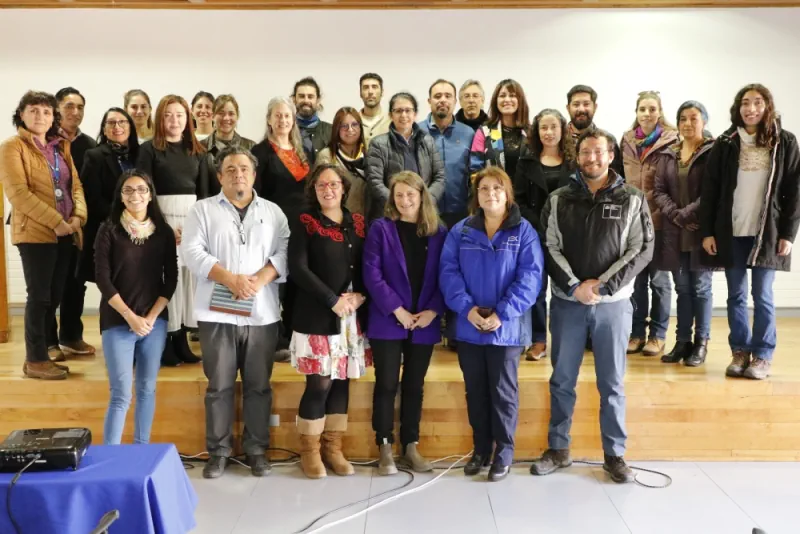
El proyecto «Laboratorio Natural Subantártico» ha finalizado con éxito y gracias a sus investigaciones se desarrollaron nuevas herramientas que aportarán a la protección de la biodiversidad de la región subantártica. Durante el último taller del laboratorio, se presentó un geoportal que proporciona información geográfica actualizada de alta calidad y una hoja de ruta que presenta ...
laderasur.com

State Unveils Interactive Soil, Water Sampling Map

The Pennsylvania Department of Environmental Protection (DEP) on Tuesday released a new interactive mapping tool that shows final sample results from soil and water testing conducted by DEP in the wake of the Feb. 3 East Palestine train derailment. Pennsylvanians can use this tool to review sampling results in the vicinity of the derailment. The ...
latrobebulletinnews.com

Chandigarh To Implement Integrated Property Management System

In line with the achieving long-term objective of a ward index the UT administration has initiated implementation of complete map-based enterprise solution to cater to the need of property data for departments like the Municipal Corporation, estate office and Chandigarh Housing Board (CHB). Under the project implemented by the IT department a solution is being ...
rprealtyplus.com

Portugal: Digital Land Registry Project Sees Georeferencing Of 1.3M Properties

Portugal’s BUPi digital land registry project has already made it possible to geo-reference 1.3 million properties in the 153 municipalities in the country that lack a land registry, the minister of justice announced on Wednesday at the BUPi Annual Meeting, held in Batalha. “Thanks to the involvement and collaboration of everyone, and particularly the municipalities, ...
macaubusiness.com
Brasil Queimou Área Equivalente A Colômbia E Chile Juntosentre 1985 E 2022

Brasil Queimou Área Equivalente A Colômbia E Chile Juntosentre 1985 E 2022

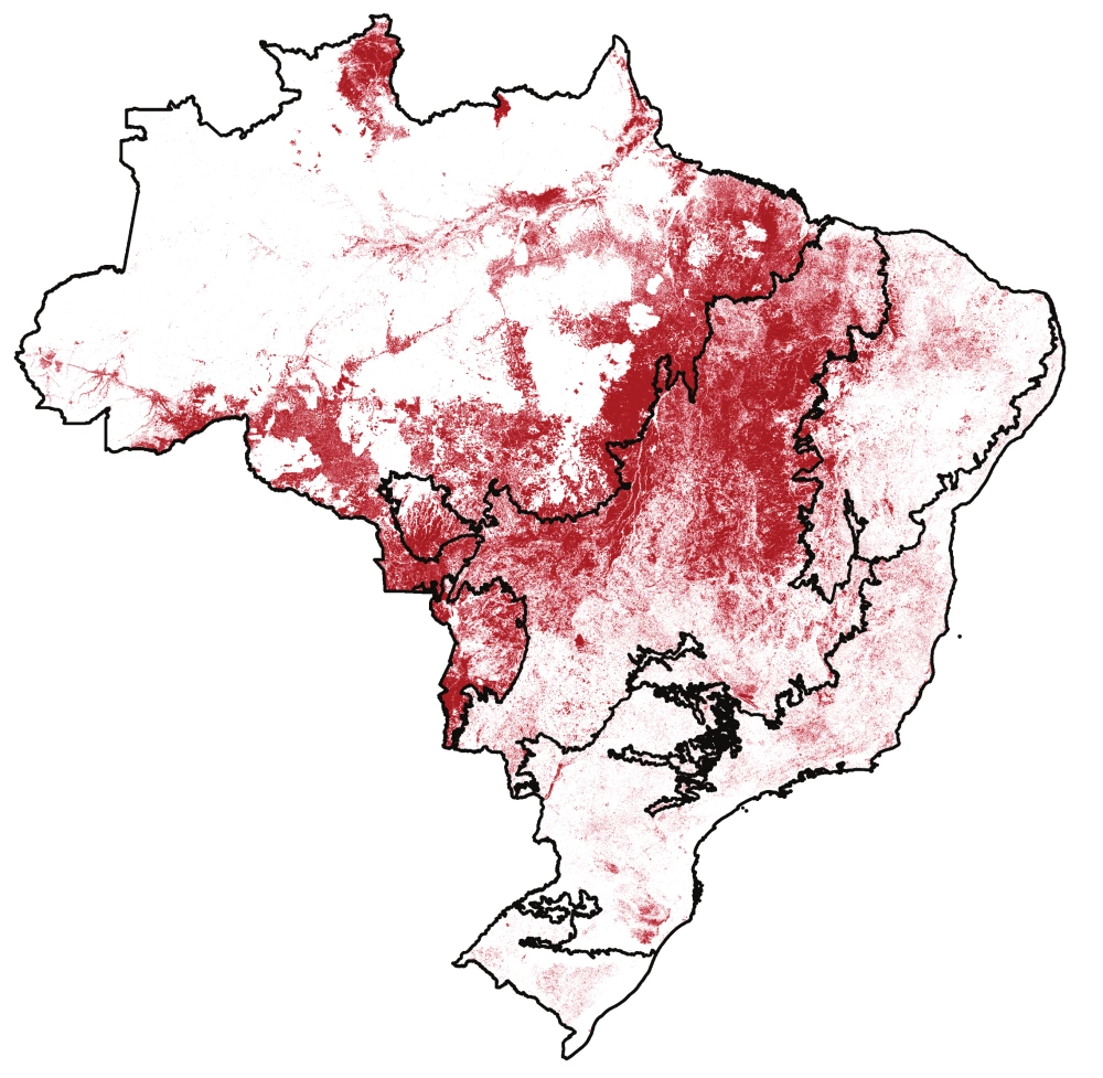
Um novo mapeamento da superfície queimada pelo fogo no Brasil revela que a área queimada entre 1985 e 2022 foi de 185,7 milhões de hectares, ou 21,8% do território nacional. A média anual alcança 16 milhões de hectares/ano, ou 1,9% do Brasil. São extensões comparáveis a países: no caso do acumulado em 38 anos, a ...
blogdopedlowski.com
Inteligencia Artificial Contra La Contaminación Proyecto Del Barcelona Supercomputing Center

Inteligencia Artificial Contra La Contaminación: Proyecto Del Barcelona Supercomputing Center

Un equipo de científicos del grupo de Servicios del Sistema Terrestre del Departamento de Ciencias de la Tierra del Barcelona Supercomputing Center – Centro Nacional de Supercomputación ha llevado a cabo un estudio que demuestra que la inteligencia artificial puede ser de gran utilidad para obtener información fiable sobre la probabilidad de exceder los límites ...
lavanguardia.com
SwRi Tests Automated Vehicles In Virtual Off-road Environments

SwRi Tests Automated Vehicles In Virtual Off-road Environments

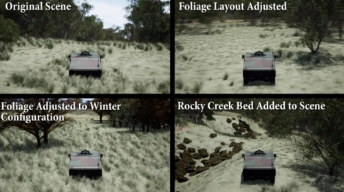
Southwest Research Institute (SwRI) has created a 3D simulation tool to test automated vehicles in virtual off-road environments modeled after real-world conditions. The research expands SwRI’s investment into software-in-the-loop solutions to test connected and automated vehicles (CAVs) in scenarios ranging from congested roadways to off-road terrain. SwRI’s simulator consists of a graphics engine, dynamics engine, ...
eurekalert.org
Meta Quest Pro Becomes A Mobile Emergency Response Center

Meta Quest Pro Becomes A Mobile Emergency Response Center

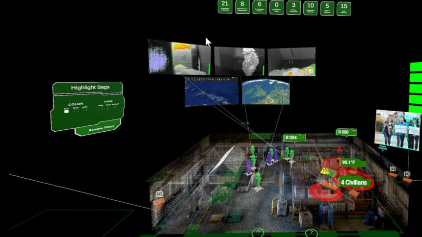
A new software solution called “Headwall XR Command Center” displays geographic and spatial information of accident sites in virtual reality. Using VR headsets, first responders can quickly and easily access all relevant data, such as 3D maps or live video feeds. This would make emergency centers on site much more compact. The technology aims to ...
mixed-news.com

Côte d’Ivoire : Salon international de la Géomatique

L’édition 2023 du Salon international de la Géomatique se tiendra les 27 et 28 avril à Abidjan, précisant que 5.000 visiteurs sont attendus à cet événement. Selon le service de communication du Comité national de télédétection et d’information géographique (CNTIG), 50 pays prendront part à ce salon. Pendant deux jours, ceux-ci auront à visiter 52 ...
sahel-intelligence.com