Geomaticians

18

Survei Garis Pantai Untuk BIG

Survei Garis Pantai Untuk BIG

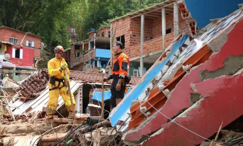
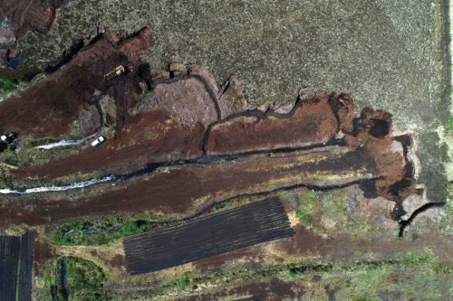
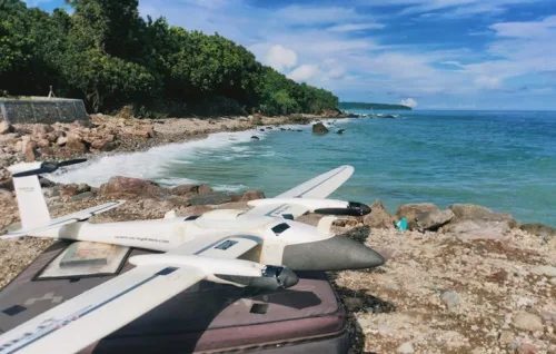
Pemanfaatan teknologi drone telah menyelesaikan proyek survei garis pantai sepanjang 1.080 kilometer. Hal ini dilakukan untuk kebutuhan data dari badan informasi geospasial (big) yang bertugas melaksanakan tugas pemerintahan di bidang informasi geospasial. “Hal ini menjadi tantangan bagi perusahaan-perusahaan teknologi drone untuk terus mengembangkan teknologi drone dan memberikan solusi terbaik bagi berbagai sektor industri, termasuk pemerintah,” ...
merahputih.com
Pesquisa Identifica Locais Com Maior Risco De Inundação

Pesquisa Identifica Locais Com Maior Risco De Inundação

Uma combinação de modelos de previsão de expansão urbana e de mudança do uso do solo e hidrodinâmicos resultou em uma metodologia capaz de fornecer informações geográficas que identificam os locais com maior risco de inundações em cidades, inclusive as provocadas por chuvas extremas. O estudo é pioneiro e foi realizado com base em dados ...
folhape.com.br

Srinagar City To Go Garbage, Dumpster-free

In a step towards making Srinagar city garbage and dumpster free, the Srinagar Municipal Corporation (SMC) has added 150 new C&T vehicles and starts its path-breaking GIS based and real time GPS monitored 100% door to door Segregated Waste Collection system and initiated removal of dumpsters from the city. All vehicles have been enabled with ...
kashmirreader.com
AI Project Aims To Use Tech To Predict Landslides, Illegal Mining, Erosion And Emissions In Irish Bogs

AI Project Aims To Use Tech To Predict Landslides, Illegal Mining, Erosion And Emissions In Irish Bogs

Irish boffins are exploring how artificial intelligence can be used to predict threats to Irish peat bogs and their impact on the climate. Ireland’s national centre for applied AI, CeADAR, has teamed up with the National Parks and Wildlife Service and Science Foundation Ireland Research Centre in Applied Geosciences iCRAG for a €200k project, AI2Peat. ...
irishmirror.ie