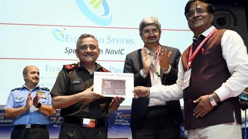
Indigenous Chip For Navic-based Satellite Navigation Launched
In a step towards expanding usage of indigenous satellite-based Navigation, NavIC, a chip that can form the core of the Navigation, Positioning and Timing applications developed by Elena Geo Systems, a Bengaluru-based space technology company, was unveiled at ht Deefence Space Symposium on Thursday. The chip works using Navigation with Indian Constellation (NavIC) or the ...
thehindu.com