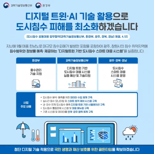
디지털 트윈·AI 기반 도시침수 예보·신속 대응체계 구축
과학기술정보통신부와 환경부는 광주광역시, 경상북도, 경상남도와 가상모형(디지털 트윈), 인공지능(AI) 등 첨단 디지털 기술을 활용한 도시침수 예보체계 구축을 위해 12일 한강홍수통제소(서울 서초구 소재)에서 업무협약을 체결했다. 가상모형(Digital Twin)은 가상세계(Digital)에 실제 사물의 물리적 특징을 동일하게 반영한 쌍둥이(Twin)를 3D 모델로 구현하고, 실제 사물과 실시간으로 동기화한 시뮬레이션을 거쳐 관제·분석·예측 등 해당 사물에 대한 현실 의사결정에 활용하는 기술이다.
koit.co.kr