Geomaticians

2021

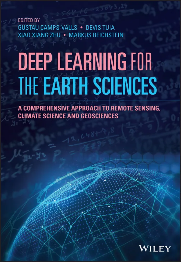
Deep Learning for the Earth Sciences

Deep Learning for the Earth Sciences: A Comprehensive Approach to Remote Sensing, Climate Science, and Geosciences

Deep learning is a fundamental technique in modern Artificial Intelligence and is being applied to disciplines across the scientific spectrum; earth science is no exception. Yet, the link between deep learning and Earth sciences has only recently entered academic curricula and thus has not yet proliferated. Deep Learning for the Earth Sciences delivers a unique ...
onlinelibrary.wiley.com
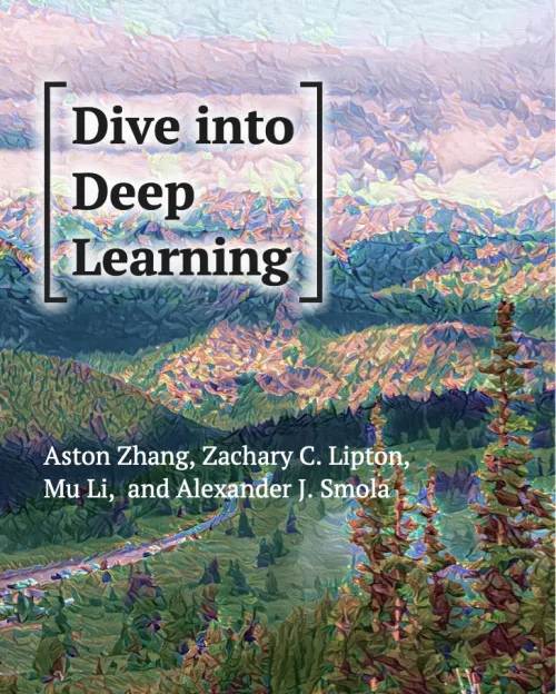
Dive into Deep Learnin

Dive into Deep Learning

Testing the potential of deep learning presents unique challenges because any single application brings together various disciplines. Applying deep learning requires simultaneously understanding (i) the motivations for casting a problem in a particular way; (ii) the mathematical form of a given model; (iii) the optimization algorithms for fitting the models to data; (iv) the statistical ...
d2l.ai
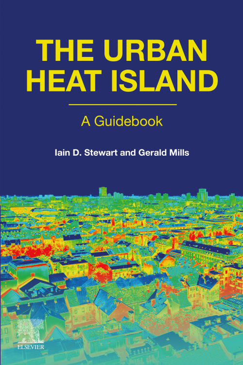
The Urban Heat Island A Guidebook

The Urban Heat Island: A Guidebook

The Urban Heat Island (UHI) is an area of growing interest for many people studying the urban environment and local/global climate change. The UHI has been scientifically studied for 200 years and, although it is an apparently simple phenomenon, there is considerable confusion around the different types of UHI and their assessment. The Urban Heat ...
sciencedirect.com
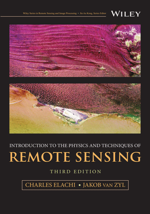
Introduction to the Physics and Techniques of Remote Sensing

Introduction to the Physics and Techniques of Remote Sensing

The thoroughly revised third edition of the Introduction to the Physics and Techniques of Remote Sensing delivers a comprehensive update to the authoritative textbook, offering readers new sections on radar interferometry, radar stereo, and planetary radar. It explores new techniques in imaging spectroscopy and large optics used in Earth orbiting, planetary, and astrophysics missions. It ...
wiley.com
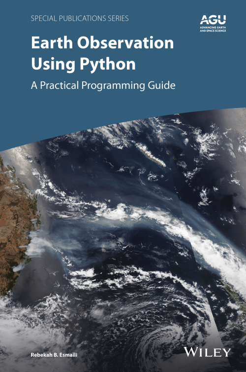
Earth Observation using Python A Practical Programming Guide

Earth Observation using Python: A Practical Programming Guide

Thousands of satellite datasets are freely available online, but scientists need the right tools to efficiently analyze data and share results. Python has easy-to-learn syntax and thousands of libraries to perform common Earth science programming tasks. Earth Observation Using Python: A Practical Programming Guide presents an example-driven collection of basic methods, applications, and visualizations to ...
wiley.com