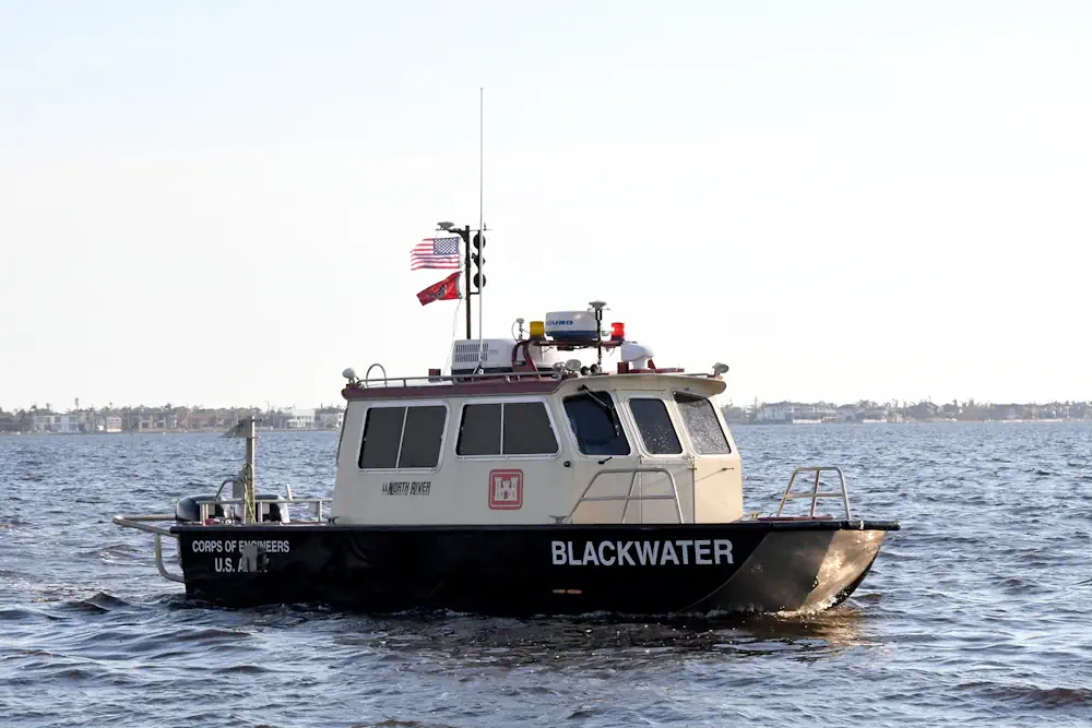
The more the merrier. That common saying could be the motto for an effort within the U.S. Army Corps of Engineers (USACE) to create a near real-time system that would track the safety and accessibility of our nation’s inland waterways. Taking advantage of vessels already on the water, an effort in the works at the U.S. Army Engineer Research and Development Center (ERDC) will use those vessels’ depth finders and GPS to create a snapshot of a channel and any obstructions that may exist.
This information, crowdsourced for private and public vessels, would support USACE’s existing survey fleet and reduce the impact of any threats to navigation on the 25,000 miles of inland waterways USACE maintains. “The Army Corps of Engineers has a fleet of surveyors that do highly accurate, precise surveys on a periodic schedule for all of the waterways,” said Dr. Brandan Scully, a research civil engineer with ERDC’s Coastal and Hydraulics Laboratory. “But given the nature of those surveys, cost, time, available vessels, etc., we do not have the ability to continuously monitor. “In order for us to do that with traditional resources, it would cost millions of dollars.”
Scully said crowdsourcing bathymetry would use equipment that already exists on vessels, such as depth finders and GPS, and supplement it with a device that would transmit that data. Once collected in a cloud, the data would then be quickly analyzed and aggregated with data from other vessels in the same area to give a picture of that portion of the waterway.
“It’s relatively simple. It’s like plugging into a router at your home for the internet, and it aggregates the position and the depth observed by the vessel and sends it off to a cloud computing resource,” Scully said. “And because there are many more waterway users, because they’re working all the time, we can have a rolling picture of parts of the waterway based on who is in the crowd and how much they are moving around.”
Scully said this information – this picture – could then be used to prioritize the actions of the USACE survey fleet and its ability to capture accurate scans to better observe any concerns with navigation. It also provides the ability to watch the waterways between scheduled surveys. As for the next step, Scully said ERDC is currently working with public and private organizations to determine the best device and setup to roll the program out on a larger scale for a proof of concept. In addition, he said there is still work to be done on where to best house the data and distribute the information.