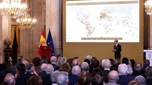
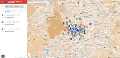
Un Google Maps De La Historia De España
Localizar y vincular a cada personaje histórico con los acontecimientos que vivió, la época, el lugar y el motivo, o lo que es lo mismo, saber el «quién», el «cuándo», el «dónde» y el «qué» de cada pasaje de nuestro devenir, ese el objetivo del nuevo Portal Digital de Historia Hispánica presentado ayer por la ...
larazon.es
![[Esri] Sentinel-2 Land Cover Explorer](https://www.geomaticians.ir/wp-content/uploads/2023/02/Esri-Sentinel-2-Land-Cover-Explorer.png)