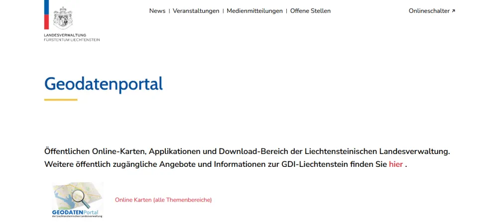
Neue Plattform Für Die Geodaten
In neuer Aufmachung präsentiert sich seit Dienstag das Geographische Informationssystem des Landes. Über ein Portal könne künftig auf alle verfügbaren geografischen Daten des Landes zugegriffen werden, erläuterte Landesstatthalterin Barbara Schöbi-Fink (ÖVP) beim Pressefoyer nach der Regierungssitzung. Etwa 600 Datensätze aus zwölf Abteilungen und Dienststellen würden zugänglich gemacht, ergänzte Johannes Kanonier vom Landesamt für Vermessung und ...
vol.at