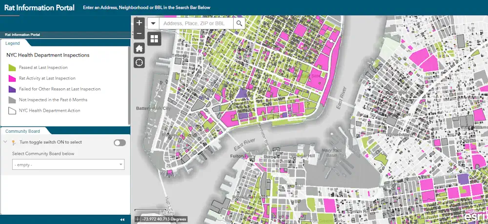
Early Detection Helps States Control Invasive Species Before It’s Too Late
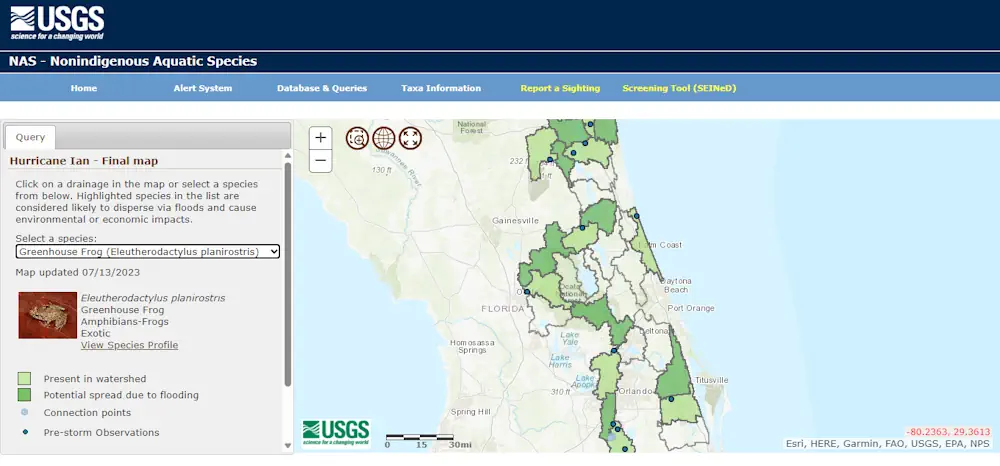
As non-native plants invade new areas, state officials worry about their effects on local ecosystems, infrastructure and recreation. Japanese knotweed, an invasive plant commonly found in the Northeast along roadsides, wetland areas and waterways, for example, can damage highway and water infrastructure, according to a 2021 report from the U.S. Transportation Department. It can grow ...