Geomaticians

Tool | Resource

Biden Administration Launches Heat.Gov With Tools For Communities Facing Extreme Heat

Biden Administration Launches Heat.Gov With Tools For Communities Facing Extreme Heat

Today, the Biden Administration through the interagency National Integrated Heat Health Information System (NIHHIS) launched Heat.gov, a new website to provide the public and decision-makers with clear, timely and science-based information to understand and reduce the health risks of extreme heat. Heat.gov will provide a one-stop hub on heat and health for the nation and ...
noaa.gov
„Sea Level Map“ Zeigt Meeresspiegelanstieg Am Beispiel Von Norddeutschland

„Sea Level Map“ Zeigt Meeresspiegelanstieg Am Beispiel Von Norddeutschland

Forscher:innen aus der Geodäsie und Geoinformatik haben anhand einer Webkarte die wissenschaftlichen Ergebnisse für den Meeresspiegelanstieg visualisiert. Die interaktive Karte bildet mögliche Klimaszenarien ab. Die verschiedenen Klimaszenarien des Weltklimarates IPCC werden abgebildet und die interaktive Karte zeigt die Anzahl an betroffenen Personen in Norddeutschland an. Die Simulation zeigt verschiedene Szenarien des prognostizierten Meeresspiegelanstiegs für das ...
idw-online.de
New Map Tool Available For Looking Up Water Main Breaks And Outages

New Map Tool Available For Looking Up Water Main Breaks And Outages

Boulder community members can now look up water service outages in the city of Boulder using a new Water Outages Map. The map is designed to improve customer service by enabling community members to quickly determine whether water service disruptions have been confirmed by the city and if outages have been resolved. It displays planned ...
bouldercolorado.gov
Maxar’s High-resolution Vivid Basemaps Enhances Esri Arcgis Living Atlas Of The World

Maxar’s High-resolution Vivid Basemaps Enhances Esri Arcgis Living Atlas Of The World

Maxar Technologies, provider of comprehensive space solutions and secure, precise, geospatial intelligence, today announced that Esri, the global leader in geographic systems (GIS) and location intelligence, will enhance the World Imagery layer with higher resolution Maxar Vivid basemaps in the Living Atlas. With the new, multiyear agreement, Esri will use Maxar’s Vivid basemaps to upgrade ...
geospatialworld.net

An Interactive Map To Monitor The Activity Of Dark Fleets In Coastal Waters_2

An Interactive Map To Monitor The Activity Of Dark Fleets In Coastal Waters

Powered by satellite radar imagery and machine learning, the new interactive map layer from Global Fishing Watch reveals a global view of hidden vessels around the world. Global Fishing Watch has developed and publicly released the first ever global map of previously undetected dark fleets, or vessels that do not broadcast their location or appear ...
nationalfisherman.com
Biotablero, Herramienta Digital Para La Gestión De La Biodiversidad

Biotablero, Herramienta Digital Para La Gestión De La Biodiversidad

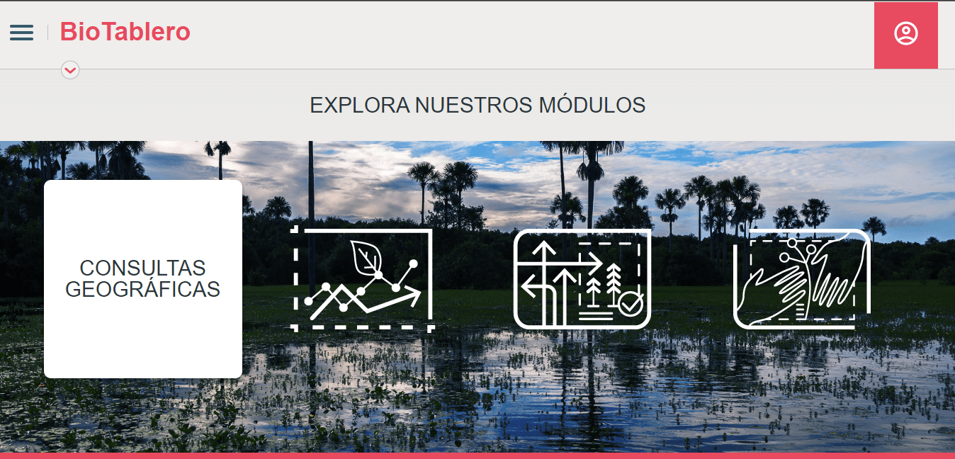
El Instituto Humboldt dio a conocer una nueva herramienta digital para la gestión de la biodiversidad en los territorios de Colombia la cual ha denominado Biotablero. Según informaron desde la entidad, se trata de una plataforma donde se pueden consultar cifras e indicadores sobre la biodiversidad de Colombia que brindan contextos específicos para dar soporte ...
cronicadelquindio.com

UIDAI-ISRO Portal To Locate Your Nearest Aadhaar Centre In Few Clicks

Today, a 12-digit unique number is facilitating mobility for millions of people who migrate from one part of the country to another, as it is a universal identity across India. The National Remote Sensing Centre (NRSC), one of the core centres of the Indian Agency – ISRO, have collaborated with the Unique Identification Authority of ...
newsonair.com

Arctic SDI Geoportal

geoportal.arctic-sdi.org
Crean Un Mapa Que Situa Los Nidos De Avispa Asiática Detectados En Cataluña

Crean Un Mapa Que Situa Los Nidos De Avispa Asiática Detectados En Cataluña

El sistema SITMUN-Vespa asiática ha creado un espacio web abierta a toda la ciudadanía para recoger observaciones de nidos. El objetivo de esta nueva herramienta es incrementar la información recogida sobre esta especie invasora y se complementa, también, con la creación de un visor público de nidos históricos en toda Cataluña. La aplicación SITMUN nació ...
diarimes.com

Presentación Del Mapa De La Policía De La Ciudad De Buenos Aires

La plataforma web es una herramienta de participación ciudadana que brinda un espacio para denunciar hechos de abuso policial. La iniciativa es una propuesta de diferentes organizaciones y se lanzará este martes 12 de julio en la Legislatura porteña. En la página se puede acceder a información sobre agentes, entidades y comisarías que actúan en ...
cels.org.ar
Mapping Glacier’s Wildest Places A New Storytelling Tool Helps Both Park Managers And Visitors Understand The Value Of Park Wilderness.

Mapping Glacier’s Wildest Places: A New Storytelling Tool Helps Both Park Managers And Visitors Understand The Value Of Park Wilderness.

Preserving the ability to hear natural sounds like this—not the engines of cars and buses, the generators of concession stands, or the thwap-thwap-thwap of sightseeing helicopters taking off and landing—is part of the reason for officially designated wilderness areas. At Glacier, a new GIS-based “story map” is giving park managers a sophisticated tool for understanding ...
nationalparkstraveler.org

Historical Flooding Data Added To FVRD Emergency Map Tool

The Fraser Valley Regional District has updated its emergency map with historic flood markers. The updated FVRD Emergency Status Map was made available this month, just as those living and working near the Fraser River and its tributaries have been keeping a close eye on the spring freshet. It can be used to view important ...
abbynews.com

An Der TU Dresden Entwickelte Bodenfeuchteampel Zeigt, Wie Trocken Sachsens Wälder Sind

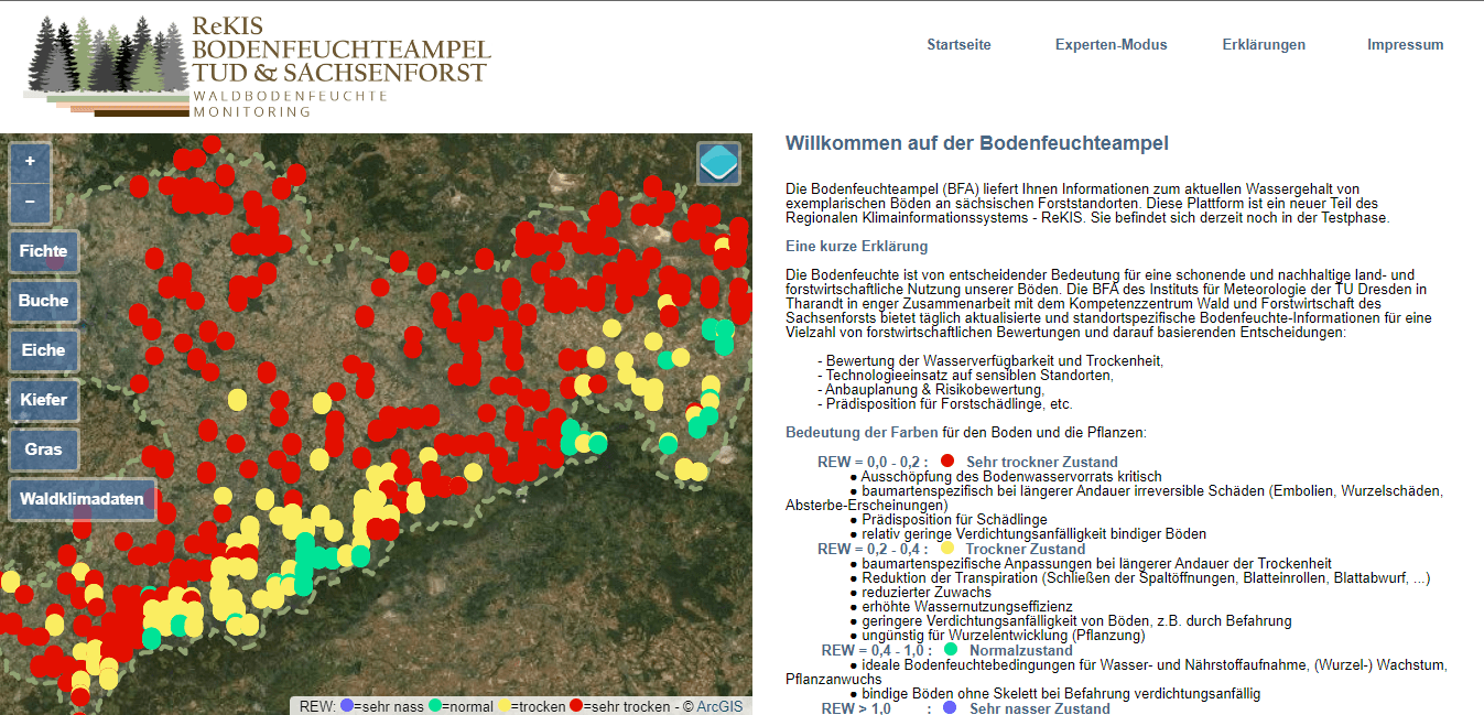
Die sächsischen Wälder sind zu trocken. Wie dramatisch die Situation ist, zeigt auch die von Dr. Rico Kronenberg von der Professur für Meteorologie an der TU Dresden entwickelte Bodenfeuchteampel. Mithilfe dieses online verfügbaren Tools können auch Laien schnell nachvollziehen, wie es um die Bodenfeuchte in den Wäldern Sachsens steht. Die eigentliche Zielgruppe sind jedoch die ...
idw-online.de

Rząd Szykuje Nowy Gis-owy Rejestr Dotyczący Sieci Szerokopasmowych

Proponowany przez rząd System Informacyjny o Dostępie do Usług Stacjonarnego Internetu Szerokopasmowego (SIDSUSIS) ma ułatwić obywatelom znalezienie dostawcy internetu, inwestorom pomoże zaś w planowaniu inwestycji. Opublikowano właśnie projekt ustawy, która ma regulować szczegóły dotyczące tego nowego rejestru.
geoforum.pl

USP Oferece Base De Dados Cartográfica Para Estudos Sobre As Bacias Hidrográficas Do Brasil

O Brasil possui uma grande quantidade de bacias hidrográficas, que são porções de terras alimentadas por um rio principal e os seus afluentes, delimitadas pelo relevo ou pela vegetação presente em seu entorno. São no total 12 bacias que formam um ecossistema único no mundo, que vem sofrendo pelo desmatamento, pelas alterações no uso da ...
jornal.usp.br
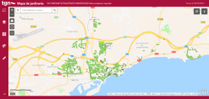
Tarragona Presenta Su Primer Sistema De Catalogación Del Verde Urbano Integrado En Un Mapa Interactivo

Tarragona Presenta Su Primer Sistema De Catalogación Del Verde Urbano Integrado En Un Mapa Interactivo

La Consejería de Parques y Jardines ha impulsado la catalogación de todo el arbolado urbano, así como los espacios y zonas verdes de la ciudad, que ha quedado integrado en el sistema de información geográfica que utilizan los técnicos para el día a día del mantenimiento del verde público municipal. El resultado, que ya puede ...
eysmunicipales.es

Mapear: Una Herramienta Para Visualizar Información Geográfica

El Ministerio de Turismo y Deportes de la Nación lanzó MapeAR, una iniciativa para facilitar la elaboración de mapas de la Argentina. Los datos de la actividad turística nacional que analiza la Dirección Nacional de Mercados y Estadística son (o pueden ser) georreferenciados, es decir, tienen una ubicación conocida. Por ejemplo, los aeropuertos internacionales del ...
argentina.gob.ar
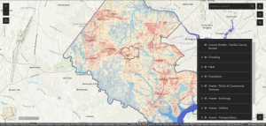
New Interactive Climate Map Shows Impact Of Heat, Flooding In Fairfax County

New Interactive Climate Map Shows Impact Of Heat, Flooding In Fairfax County

As Fairfax County finalizes its first-ever plan to address the future effects of climate change, community members can see how the phenomenon already affects them with a newly released interactive map. Launched last week, the climate map depicts heat and flooding data that can be viewed in conjunction with maps of the county’s population and ...
ffxnow.com
Citizen Scientists Huge Help In Creating Australian Frog Atlas Reveals True Distributions Of Our Frogs

Citizen Scientists Huge Help In Creating Australian Frog Atlas: Reveals True Distributions Of Our Frogs

Australia’s frogs deserve better distribution maps, and thanks to tens of thousands of people across Australia recording calling frogs with their phones, we now have the occurrence data to do this. Since the launch of the Australian Museum’s FrogID project in 2017, there has been a rapid increase in frog occurrence records in Australia. FrogID ...
australiangeographic.com.au