Geomaticians

Library | Plugin

I Dati Satellitari Per Il Controllo Del Microclima Urbano. All’oar Il Convegno Con L’agenzia Spaziale Italiana E Il Politecnico Di Milano

Arrivano dai dati satellitari gli strumenti per mappare il fenomeno dell’isola di calore urbana e capire come la struttura fisica della città e l’uso del suolo influiscano sul microclima urbano. Se ne parla al convegno che si terrà venerdì 23 febbraio presso il complesso monumentale dell’Acquario Romano, sede dell’Ordine degli Architetti di Roma e Provincia. ...
architettiroma.it
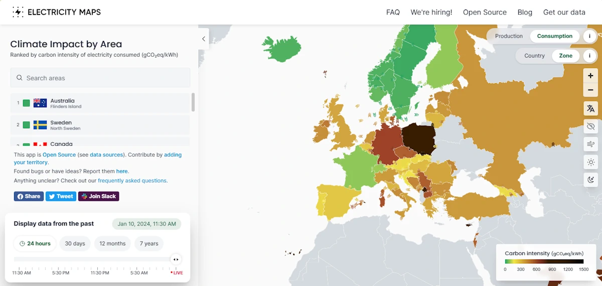
Electricity Maps

Electricity Maps

A real time and historical visualisation of the Greenhouse Gas Intensity (in terms of CO2 equivalent) of electricity production and consumption around the world. This project aims to provide a free, open-source, and transparent visualisation of the carbon intensity of electricity consumption around the world.
electricitymaps.com
python packages for geovisualization

Python Packages for Geovisualization

This list includes all geovisualization (static and interactive) python packages. The list updates weekly.

New Trimble Terra Office Workflow Delivers Integration With Esri ArcGIS Pro

Trimble announced today the release of the Trimble® Terra™ Office add-in for Esri ArcGIS Pro. The add-in is a new product in Trimble’s Terra Office suite of desktop solutions for integrating Trimble TerraFlex® field data collection software with GIS systems of record. With a streamlined user interface, the new Terra Office add-in for ArcGIS Pro ...
directionsmag.com