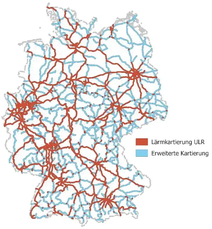
Lärmkartierung Für Das Eisenbahn-Bundesamt Abgeschlossen
„Trotz aller Herausforderungen ist es uns gemeinsam gelungen, für das Eisenbahn-Bundesamt eines der größten deutschlandweiten Geodatenmanagementprojekte termingerecht abzuschließen. Ein derart komplexes Projekt erfordert auch ein professionelles Projektmanagement. Durch die Bündelung erfahrener Lärmexperten, Qualitätsmanager und Datenspezialisten konnte das eingespielte Kompetenzteam Risiken bewerten und passgenaue Lösungen entwickeln“, blickt Claus Hofmann, Geschäftsführer von Disy Informationssysteme, auf die gut ...
rheinischer-spiegel.de