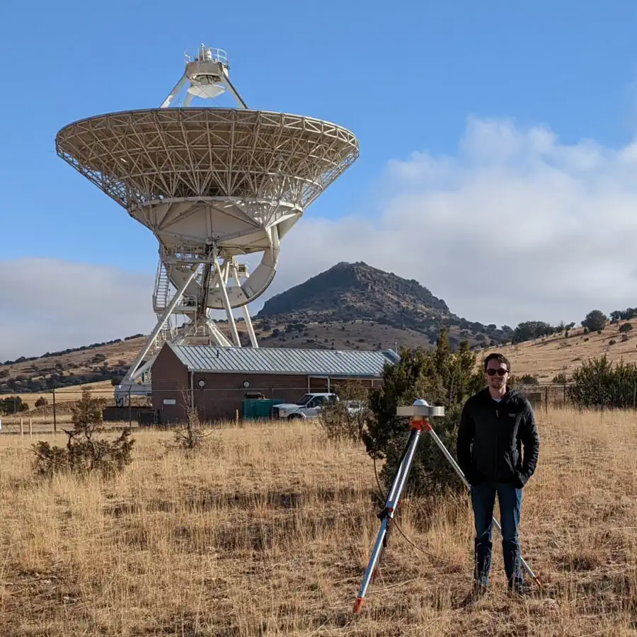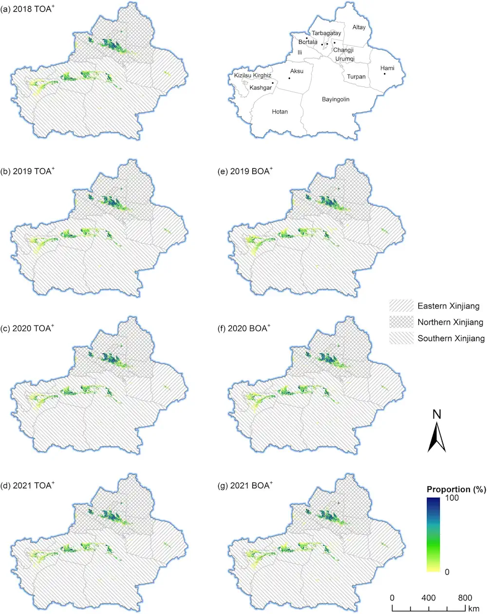
Goddard Engineers Improve NASA Lidar Tech For Exploration
Lidar technology improvements will help NASA scientists and explorers with remote sensing and surveying, mapping, 3D-image scanning, hazard detection and avoidance, and navigation. Light detection and ranging, or lidar, is a remote sensing technology related to sonar and radar. Lidar uses pulses of light to measure distances and properties of objects accurately, by measuring the ...
nasa.gov