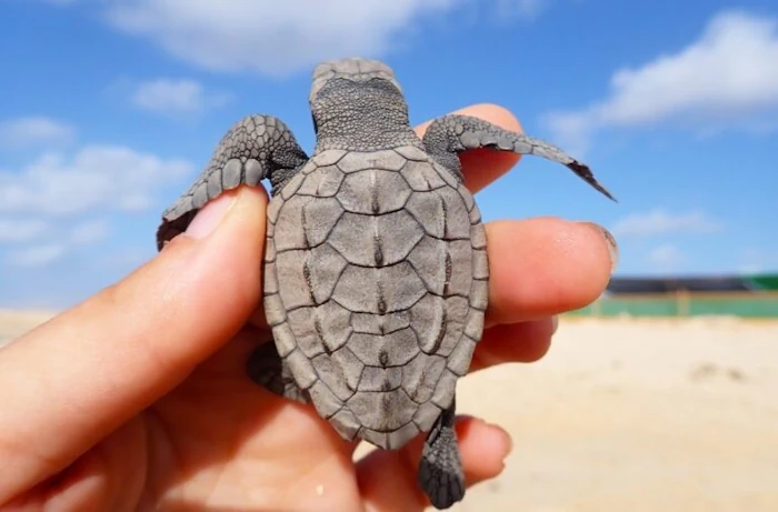
Mapeamento De Cabo Verde Para Proteger As Tartarugas Do Plástico
A estudante do Programa Doutoral em Biologia da FCUP, Diana Sousa Guedes, tem estado a mapear, com recurso a um drone, o lixo marinho das praias de Cabo Verde, num trabalho que procura perceber o impacto do plástico nas tartarugas-marinhas. O objectivo é proteger estas espécies ameaçadas de extinção, num cenário cujos resultados não são, ...
campeaoprovincias.pt