Geomaticians

Note

What Are The Privacy Concerns When Using Satellite Imagery To Solve Crimes

What Are The Privacy Concerns When Using Satellite Imagery To Solve Crimes?

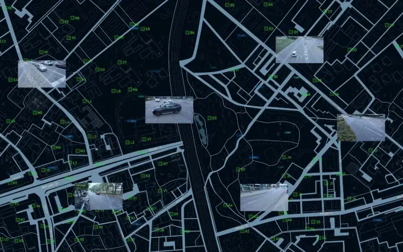
Once the sole domain of meteorologists and geographers, satellite imagery has become an increasingly useful tool for criminal investigations. Law enforcement agencies across the globe have taken advantage of the high-resolution images offered by satellite technology and are using greater quantities of such images than ever before to aid with investigations. In criminal cases where ...
aerotime.aero
ChatGPT and Geospatial Tasks

ChatGPT and Geospatial Tasks

Answering the question How does ChatGPT work? requires introducing some basic concepts such as Natural Language Processing (NLP), Language Modeling (LM), and Reinforcement Learning (RL). After defining the concepts and providing some examples, the proposed approach by OpenAI will be explained ...
Alidade and Sons

Alidade & Sons

On this post, I provided the definitions of Alidade, reviewed a timeline of creations of her sons (Groma, Dioptra, Astrolabe, Sextant, and Theodolite), and finally explained how they work.