Geomaticians

Contest

AGI Launch Awards For Geospatial Excellence

The Association for Geographic Information (AGI) has re-launched its highly popular awards for excellence within the geospatial sector. Entries for the awards are being sought from organisations and individuals, working in or with geospatial, who want to showcase innovation, achievements and best practice. The AGI 2024 Awards Categories are the ‘Chairperson’s Award for Outstanding Service ...
directionsmag.com
NGA Issues Million Dollar Challenge To Stop Illegal Fishing

The National Geospatial-Intelligence Agency (NGA) and the National Security Innovation Network (NSIN) are looking for people with innovative solutions to help stop illegal fishing. This new challenge has a million-dollar prize pool. Illegal, unreported and unregulated fishing is a critical issue threatening the sustainability of marine ecosystems. It contributes significantly to the decline and potential ...
fox2now.com

Launch Of The Geospatial Innovation Awards 2024

Geovation, Ordnance Survey’s (OS) award-winning open innovation hub, has opened nominations for round two of its Geospatial Innovation Awards to showcase the best in geospatial innovation and the impact it has on people, places and planet. The 2024 awards, which are open to international entries, build on the success of the inaugural awards earlier this ...
directionsmag.com
Gençler Yeni Projelerini İbb Desteği İle Geliştiriyor

Gençler Yeni Projelerini İbb Desteği İle Geliştiriyor

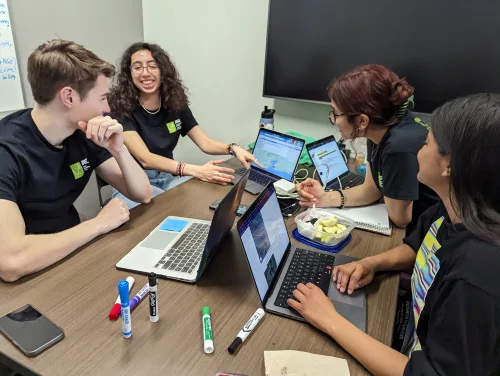
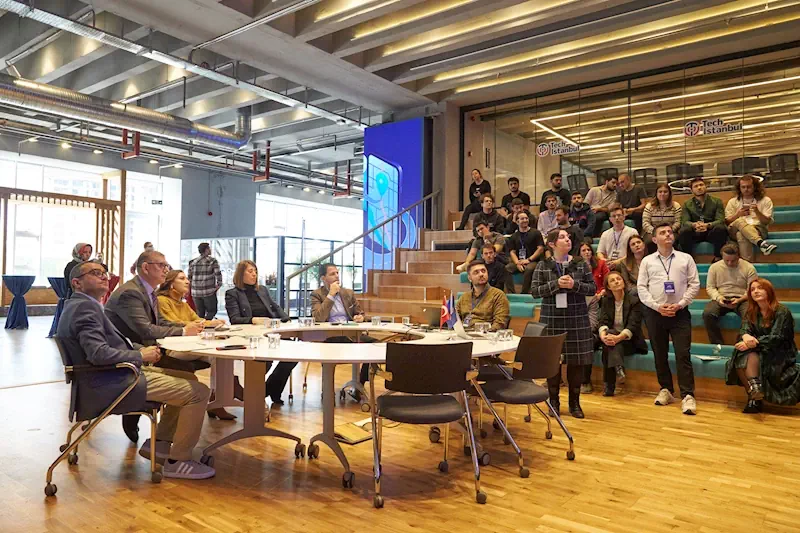
İstanbul Büyükşehir Belediyesi (İBB) Bilgi İşlem Dairesi Başkanlığı Coğrafi Bilgi Sistemi (CBS) Şube Müdürlüğü ve Akıllı Şehir Şube Müdürlüğünün iş birliği ile hayata geçirilen GIS Hackathon 16-17 Aralık tarihlerinde Tech Istanbul Başakşehir’de gerçekleştirildi. İstanbul gibi tarihi ve kültürel bir şehir için yeni fikirlerin geliştirilmesi amacıyla hayata geçirilen GIS Hackatona; CBS teknolojilerine ilgi duyan üniversite mezunları ...
filashaber.com
“Together For COOL Earth!” International Satellite Image Contest Starts

“Together For COOL Earth!” International Satellite Image Contest Starts

The fourth edition of an international competition ‘Seize the Beauty of our Planet’ has just started. As previous editions, it combines space technologies with a pro-environmental approach, and this year’s motto is “Together for COOL Earth!” as it focuses on global warming and its impact on our planet. The contest is organized by CloudFerro, the ...
spaceref.com

Singaporean Alliance Organizes Geospatial-oriented AI Challenge

In collaboration with AI Singapore, the Singapore Land Authority (SLA) has launched an innovative challenge centered on visual localization, aimed at addressing how AI can accurately extract camera pose data from 2D images. This is an essential concept in computer vision that refers to the exact position and orientation of a camera in 3D space ...
gim-international.com
Hackathon Gathers Global Students To Tackle Social, Environmental Issues

Hackathon Gathers Global Students To Tackle Social, Environmental Issues

Nearly 150 students from around the world convened in person and virtually in March to take part in the Interplanetary Initiative pilot project SpaceHACK for Sustainability Hackathon at Arizona State University. Participants worked in teams to explore how satellite Earth observations and remote sensing technology from space can be used to better understand and address ...
news.asu.edu
Pomysły Na Internetową Mapę Dolnego Śląska Znów Poszukiwane

Pomysły Na Internetową Mapę Dolnego Śląska Znów Poszukiwane

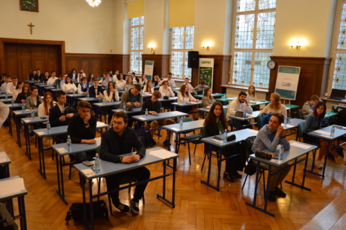
Celem wydarzenia jest propagowanie rozwiązań systemów informacji geograficznej i Geoportalu Dolny Śląsk, wzbogacenie procesu nauczania treścią GIS oraz zwiększenie wiedzy na temat regionu. Konkurs skierowany jest do uczniów szkół średnich oraz studentów dziennych uczelni wyższych dowolnych kierunków. Jego przedmiotem jest opracowanie mapy obejmującej teren Dolnego Śląska, przedstawiającej dowolne aspekty przestrzeni odnoszące się do środowiska naturalnego ...
geoforum.pl
CASSINI Hackathon I Migliori Talenti Europei Si Sfidano Tra Satelliti E Intelligence

CASSINI Hackathon: I Migliori Talenti Europei Si Sfidano Tra Satelliti E Intelligence

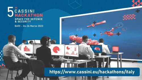
Tre giorni di tempo per sviluppare i propri progetti e sfidarsi nel realizzare applicazioni basate su dati e servizi satellitari dell’Unione Europea con l’obiettivo di creare soluzioni innovative per migliorare la sicurezza e la difesa in Europa. Tre le sfide sulle quali cimentarsi: mobilità sulla terraferma, sicurezza in mare, protezione delle infrastrutture critiche. Il CASSINI ...
rivistageomedia.it
Open Data Challenge Hackathon Supports Implementation Of Geodata In Central Asia

Open Data Challenge Hackathon Supports Implementation Of Geodata In Central Asia

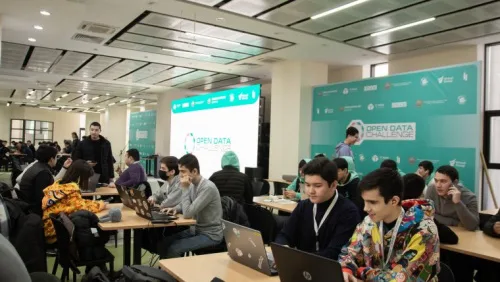
During the Open Data Challenge hackathon held in Tashkent, the capital of Uzbekistan, more than 200 students, divided into 50 teams, spent three days using geodata to tackle the country’s most relevant issues. The event was organized from 27-29 January 2023 by Uzbekistan IT-Park, Akfa University, the Organization for Security and Co-operation in Europe, the ...
gim-international.com
“Geospatial Hackathon” Launched To Encourage Innovation And Start-ups In Indi

“Geospatial Hackathon” Launched To Encourage Innovation And Start-ups In India

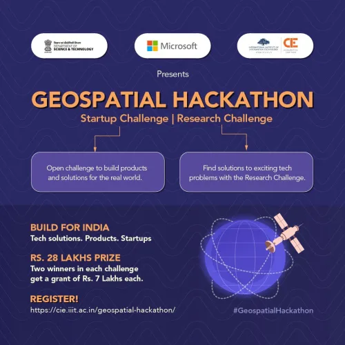
Dr. Jitendra Singh, the Union Minister for Science and Technology, launched the Geospatial Hackathon to encourage innovation and start-ups in India’s geospatial ecosystem. Speaking at the event in New Delhi, Dr. Singh stated that the hackathon’s goal was to encourage collaborations between the public and private geospatial sectors as well as to develop the nation’s ...
currentaffairs.adda247.com
Airbus Foundation Looks To Put Satellites To New Biodiversity Conservation Uses

Airbus Foundation Looks To Put Satellites To New Biodiversity Conservation Uses

The Airbus Foundation and the Connected Conservation Foundation (CCF) recently announced a new award for research that would use satellites to aid in biodiversity conservation. The application period, open to individual researchers and nonprofit organizations, began Dec. 5 and ends Feb. 3, 2023. A team of four judges will assess the potential of proposals designed ...
news.mongabay.com
Zapowiedź Kolejnej Edycji Geodezyjnej Olimpiady

Zapowiedź Kolejnej Edycji Geodezyjnej Olimpiady

Komitet Główny Olimpiady Wiedzy Geodezyjnej i Kartograficznej oraz Stowarzyszenie Geodetów Polskich zapraszają uczniów i szkoły do udziału w 45. edycji tego wydarzenia w roku szkolnym 2022/2023. Organizatorem zawodów drugiego i trzeciego stopnia obecnej edycji będzie Zespół Szkół Budowlanych w Bydgoszczy oraz Zarząd Oddziału Stowarzyszenia Geodetów Polskich w Bydgoszczy. Organizatorzy przewidują, że zawody te zostaną przeprowadzone ...
geoforum.pl