Geomaticians

R

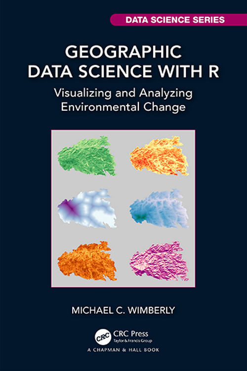
Geographic Data Science with R Visualizing and Analyzing Environmental Change

Geographic Data Science with R: Visualizing and Analyzing Environmental Change

The burgeoning field of data science has provided a wealth of techniques for analyzing large and complex datasets, including methods for descriptive, explanatory, and predictive analytics. However, actually applying these methods is typically a small part of the overall data science workflow. Other critical tasks include screening for suspect data, handling missing values, harmonizing data ...
bookdown.org
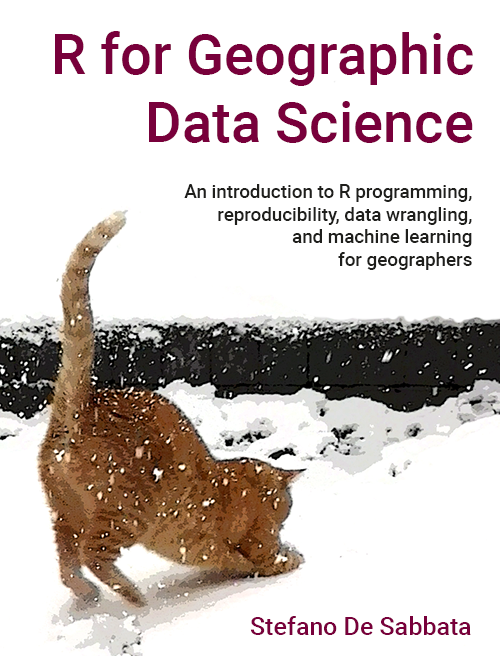
R for Geographic Data Science

R for Geographic Data Science

The materials included in this book have been designed for a module focusing on the programming language R as an effective tool for data science for geographers. R is one of the most widely used programming languages. It provides access to a vast repository of programming libraries, covering all aspects of data science, from data ...
sdesabbata.github.io
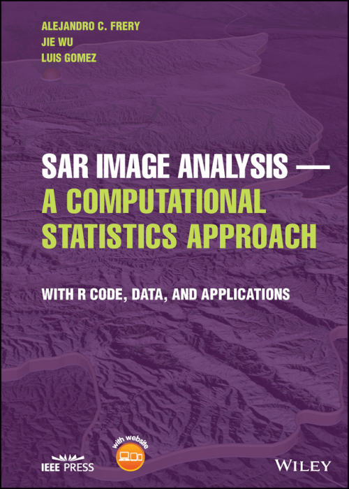
SAR Image Analysis - A Computational Statistics Approach With R Code, Data, and Applications

SAR Image Analysis – A Computational Statistics Approach: With R Code, Data, and Applications

In SAR Image Analysis — A Computational Statistics Approach, an accomplished team of researchers delivers a practical exploration of how to use statistics to extract information from SAR imagery. The authors discuss various models, supply sample data and code, and explain theoretical aspects of SAR image analysis that are highly relevant to practitioners and students. ...
wiley.com