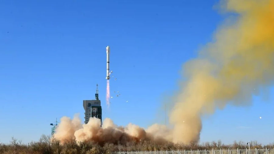
China launched a remote-sensing satellite for Egypt late on Sunday (Dec. 3) as space cooperation between the two countries deepens. A Long March 2C rocket lifted off from Jiuquan Satellite Launch Center in the Gobi Desert at 11:10 p.m. EST on Sunday (0410 GMT, or 12:10 p.m. Beijing time on Dec. 4), with insulation tiles falling from the rocket as it rose into the sky.
The main payload was the MISRSAT-2 remote-sensing satellite for Egypt. The satellite will deliver imagery with a resolution of 6.5 feet (2 meters) per pixel in panchromatic mode, or visible light, and 26.2 feet (8 m) per pixel for multispectral images, which will focus on several specific bands. The satellite will assist Egypt’s work on land and resource utilization, water conservancy, agriculture and other fields, according to China National Space Administration (CNSA). CNSA described the cooperative satellite project as a milestone for China-Egypt space cooperation. China provided Egyptian personnel with training in satellite design and final assembly test operations and supported Egypt in building a satellite assembly and test center as part of the international collaboration.