China sent a new set of four Beijing-3 optical remote sensing satellites into orbit late Sunday.
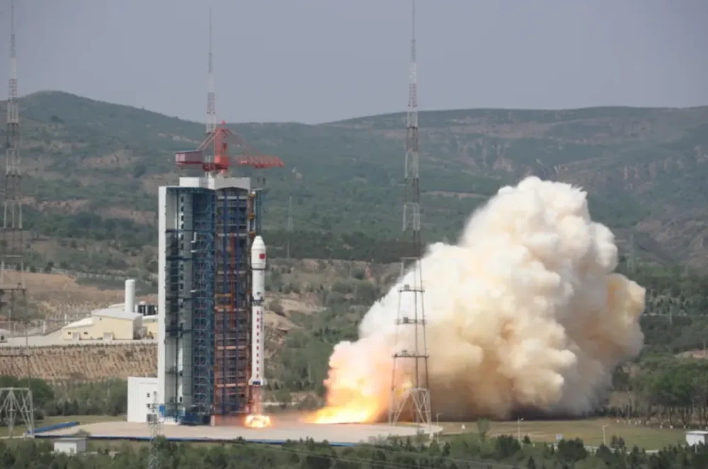
A Long March 2D rocket lifted off at 11:06 p.m. Eastern, May 19 (0306 UTC, May 20), from the Taiyuan Satellite Launch Center, north China. The China Aerospace Science and Technology Group (CASC) confirmed launch success within an hour of liftoff.
Aboard were four Beijing-3C remote sensing satellites. These are likely to enter roughly circular, 600-kilometer-altitude sun-synchronous orbits.
The satellites were launched for Twenty First Century Aerospace Technology Co. Ltd. (21AT) of Beijing. The satellites were built by CASC’s China Academy of Space Technology (CAST). 21AT has earlier ordered satellites from Surrey Satellite Technology Ltd. (SSTL) of the United Kingdom.
The Beijing-3C constellation consists of four 0.5-meter panchromatic, 2-meter multispectral resolution intelligent remote sensing satellites. Two of the quartet are also known as Nanning-2 and Zhengzhou Airport Satellite, according to 21AT. The former will provide services to Nanning, capital of Guangxi Zhuang Autonomous Region, and the region itself.
The Beijing constellation is far from China’s largest remote sensing constellation. Changguang Satellite Technology (CGST), a spinoff from the Chinese Academy of Sciences’ CIOMP, has more than 100 Jilin-1 series satellites in orbit. These include optical and video satellites, with panchromatic resolution of around 0.70 meters. In 2022 it expanded its plans to launch 300 satellites by 2025.
The constellation will work with other, previously launched Beijing-3 satellites. These will combine to provide high-resolution remote sensing satellite data. They will also assist the development of new productive forces in commercial aerospace, and contribute to the modernization of the national governance system and governance capabilities, according to 21AT.