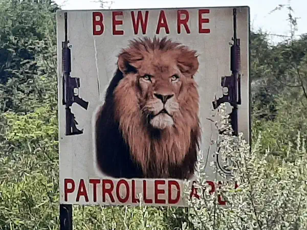
Poaching wild animals poses global environmental risks, from threatening the survival of keystones species to potentially spreading animal-borne diseases to humans. Technology like unmanned aerial vehicles, or drones, can help combat poachers, but finding the best way to use the large amounts of geospatial data generated by these tools remains a challenge, according to Penn State scientists. “Poaching is a big problem,” said Wendy Zeller Zigaitis, a doctoral student in the Department of Geography at Penn State. “Technology can help, but we have to understand how to look at all the data we are collecting and synthesize that information.”
Rangers overseeing protected areas today can use drones, imagery from airplanes and satellites, trail cameras and other technology to observe how animals and poachers are moving across their wide swaths of land. But no one system can provide enough information to counteract poaching by itself, the scientists said. Yet much of the research on technology in wildlife conservation over the last decade has focused on single devices, like drones, Zeller Zigaitis wrote in a review recently published in the journal Annals of GIS. She said the work reveals a gap in our knowledge of how protected area practitioners make sense of the geospatial data collected within their borders.
“There’s a lot of research out there using one particular sensor or another to combat poaching,” Zeller Zigaitis said. “But I found most were looking at one piece of the puzzle, not the overall holistic picture. In the end, it’s bringing all that data together and making sense of it that that is wanting to help you understand patterns and trends within a particular area.”
The scientists said future work should aim at synthesizing data from these devices and human-generated data — like pen-and-paper observations from ranger logs or notes and pictures — of animals or shell casings — manually imputed into phone apps or written in log books. Synthesizing this data and packaging it in a way that practitioners can visualize and use as a tool may be the best way to approach poaching mitigation, the scientists said. This approach could help rangers, for example, decide which devices would work best and in what locations on their land.
The scientists said future work should aim at synthesizing data from these devices and human-generated data — like pen-and-paper observations from ranger logs or notes and pictures — of animals or shell casings — manually imputed into phone apps or written in log books. Synthesizing this data and packaging it in a way that practitioners can visualize and use as a tool may be the best way to approach poaching mitigation, the scientists said. This approach could help rangers, for example, decide which devices would work best and in what locations on their land.