This summer, a group of students are embarking on a groundbreaking project: mapping tree canopy cover in California. Tree canopies, which provide shade, can offset the heat island effect in cities. The effect is caused by buildings, roads and other human-made infrastructure absorbing and then re-emitting heat. In a warming climate, the heat island effect only intensifies, making cities hotter than ever. To offset this, the state of California aims to increase tree canopy cover by 10% in urban areas by the year 2035 — especially in underprivileged areas and areas with few trees. But no open-source data set exists that can provide an accurate baseline estimate. That’s where this project comes in.
The students involved are creating a public, open-source urban tree canopy map using geographic information systems (GIS) and an AI deep-learning model. They’re also writing a research paper to document their methodologies and share their discoveries with the world. “With our map, city managers can say, ‘OK, here’s where our trees are, here’s where we don’t have trees and here’s where we’ve lost a lot of trees and need to replace them,’” said Cami Pawlak, a graduate advisor on the project who graduated with her master’s degree from Cal Poly in June. “Cities that have good canopy cover can be 10 degrees cooler than cities without it. It has a big impact in terms of stress on people and urban heat.”
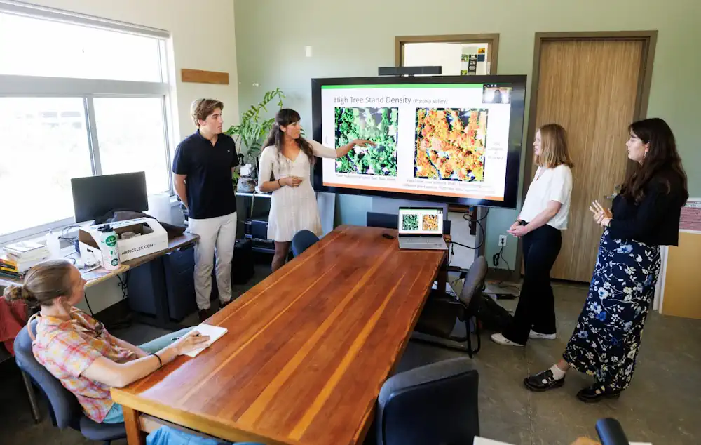
At the ground level, students are digitizing images from the National Agriculture Imagery Program (NAIP) of hundreds of tree canopies across the state to make an image training library for artificial intelligence. The AI will then use the learning library of images to identify tree canopies in other areas, building a baseline estimate. To start, each student has been assigned 100 training tiles and is digitizing each visible tree. Sara Arnold and Griffen Guizan, both fourth-year anthropology and geography majors, are using the programming language Python to create bar charts that show month, camera type, hour, climate zone, city area and city population for each tile.
“It is eye-opening to see which urban areas of California have lots of tree coverage and which do not,” Arnold said, adding that many of the tiles she has digitized are from wealthy neighborhoods with large trees shading the streets. “These large trees offset the urban heat island effect, making the areas cooler and more livable. However, my tiles that have been situated in highly urbanized areas like cities typically have very little canopy coverage.” Fricker concurs, adding that tree cover tends to be scarcer in the poorest areas, exacerbating the effects of a warming climate. “It’s a social and environmental justice issue,” Fricker said. “Part of this is helping to make underserved communities more resilient in the face of a changing climate.”
“Children are so vulnerable to extreme temperatures … most schools, regardless of the community’s income level, don’t have many trees. Instead of green spaces, many schoolyards feature lots of pavement … This unfortunate reality exacerbates the heat island effect and contributes to flooding issues.“ The canopy cover map is just one of the projects under the umbrella of Cal Poly’s Urban Forest Ecosystems Institute, which strives to address the need for improved management of California’s urban trees.